Gales Point: One of the Most Unique Spots in Belize & An Effort to Save the Endangered Hawksbill Turtle
Gales Point and the Hawkbill Turtles
Gales Point, a tiny Belizean village located on an amazing piece of land in the middle of a glimmering blue lagoon, has a population of fewer than 300 people. Most are descendants of African slaves, brought to Belize in the 1700s for back-breaking labor – logging in the deep Belizean jungle. Runaway slaves, around the year 1800 made their way down to Gales Point. An area that today is incredibly remote – I’ll tell you about our bumpy trek down there – but 200 years ago? I can’t even imagine the journey.
And for tens of thousands…maybe hundreds of thousands of years before even that…hawksbill turtles were visiting the shore near Gales Point to lay their eggs. Now critically endangered – the hawksbill is the primary source for tortoiseshell used for jewelry and decorations (illegal now throughout much of the world). They are fighting what seems like a losing battle as they lose nesting grounds around the world to development. They are also used for food – both the turtle and their eggs.
The 6 miles of remote beachfront just beyond the village of Gales Point contains the highest concentration of hawksbills nesting in the Caribbean. IN THE ENTIRE CARIBBEAN.
I joined a small group last weekend for a whirlwind trip down to Gales Point Belize to help clean up the beach so that baby turtles could hatch and make their way to the sea unimpeded. Raccoons, foxes, birds, humans…their life going forward would be hard enough.
Location and How We Got There
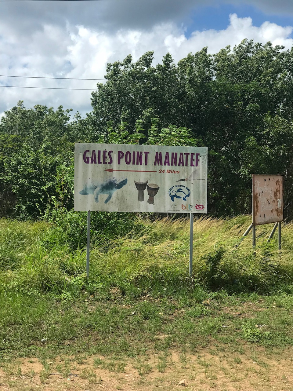
The trip to Gales Point is not totally straightforward. Outside of Belize City – about 30 miles outside off the Western Highway – is the turn-off the Coastal Highway at the village of La Democracia. It is mostly known as the only road in Belize that rental car companies PROHIBIT you from driving on. It is unpaved, floods easily and there is mostly no cell phone service. If you did break down, you would have to just wait for the next person to drive by.
Here’s a road map of Belize.
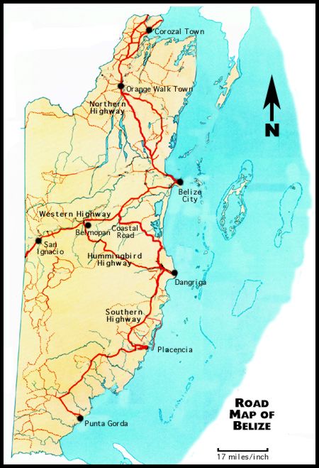
Hopefully you can see here – Ambergris Caye to Belize City (6am water taxi) – and then we rode in a van the rest of the way. Along the Western Highway to the Coastal Highway and down towards Dangriga. The larger town of Dangriga is marked on both maps below.

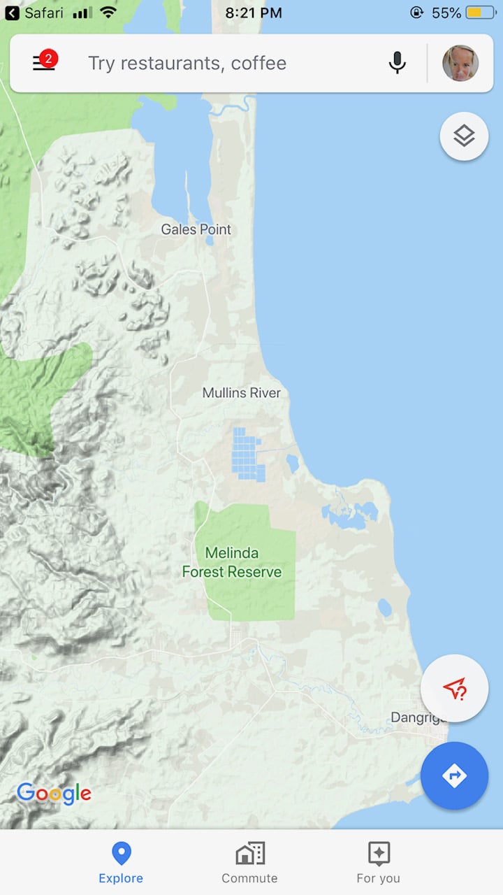
And then zooming in. Amateur hour, I know!
From the turn off on the Western Highway it is only 27 miles but the ride takes about 1.5 hours.
Paved for about a 1/4 miles and then to dirt. The term “highway” might be wishful thinking.
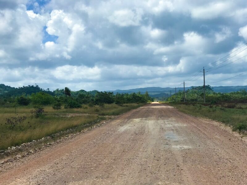
So it’s rocky and jutted and slow moving. It seems someone or other has been talking about paving the Coastal Highway since I moved to Belize 12 years ago.
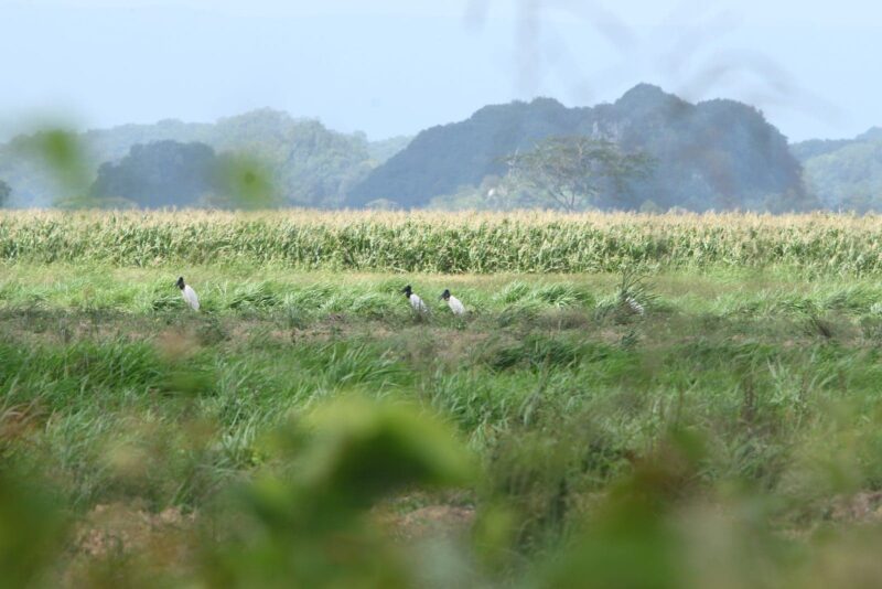
Rocky but amazingly beautiful as it snakes across the savannah between the mountains and the sea. Lots of high grass and palmettos…lots of birds. We saw bobwhites and 5 glorious jabiru storks standing in a field.
Photo by Dave Hernandez, a serious Belizean birder. But please know that I spotted them first.
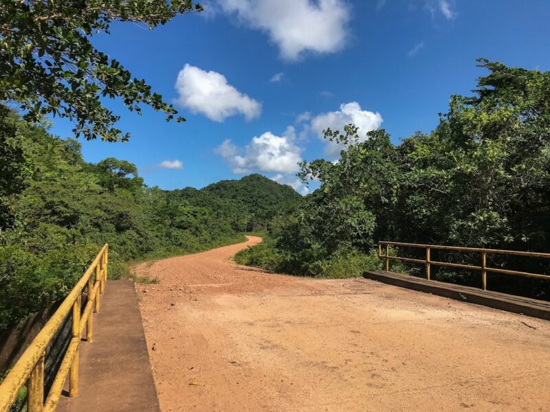
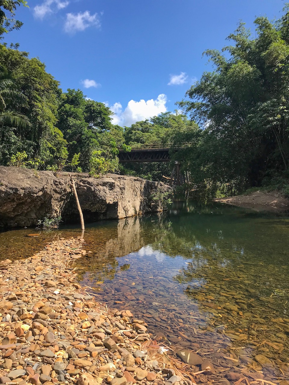
We passed over rivers – most at only a trickle in the time of drought – sometimes over bridges made only of wood.
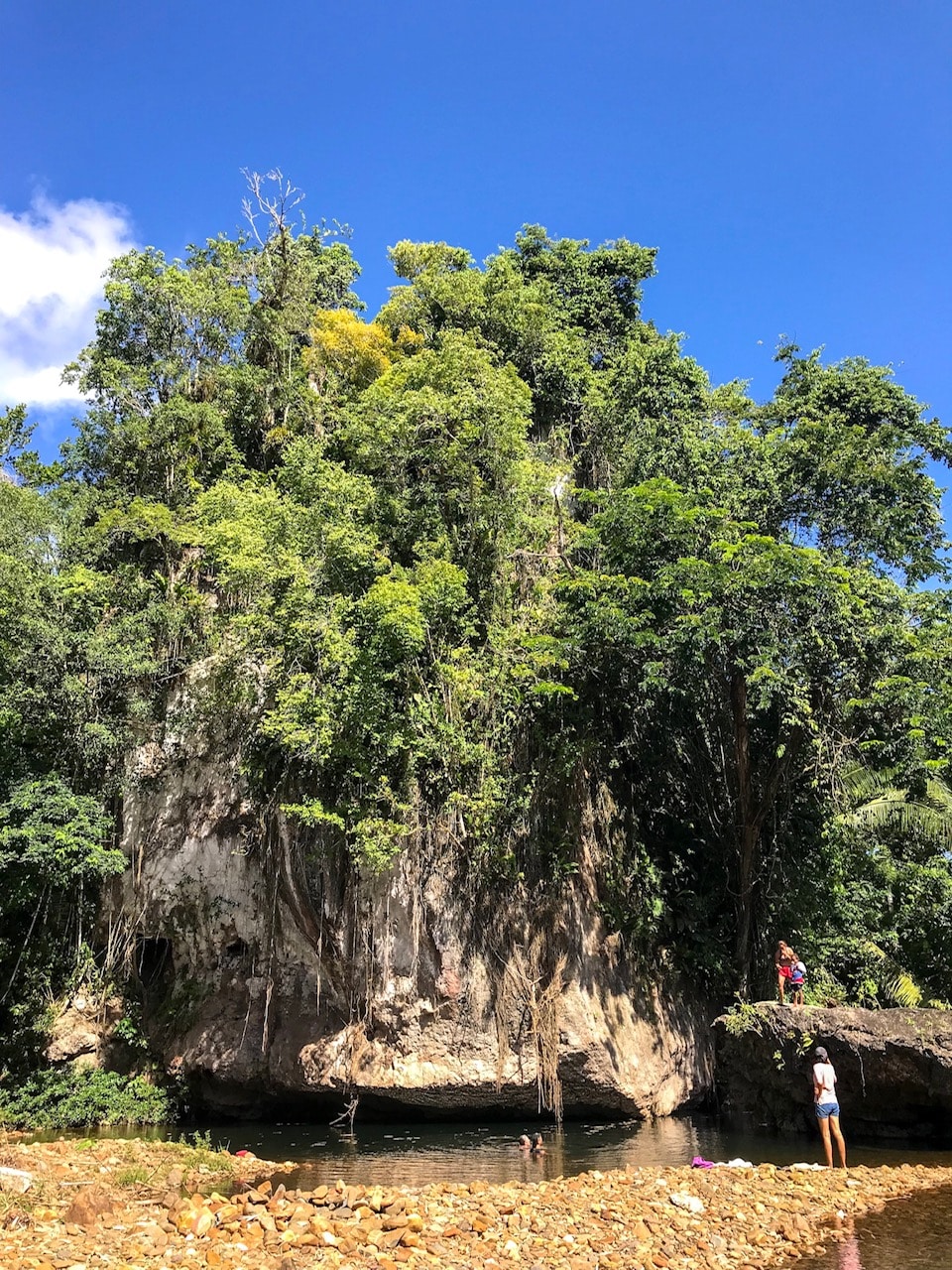
We stopped at one to take a swim. Soliders Creek.
Two keel billed toucans flew overhead.
The bridge above…
and down below.
Gales Point Village
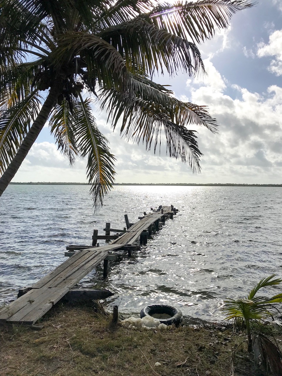
So let me show you some pictures of this incredible village. On an ancient river rock sandbar jutting out into the isolated Southern Lagoon.
A friend took a helicopter ride over Gales Point a few years ago – it gives you a great sense of the size of the peninsula and the village. One dirt road running up and down the peninsula, small wooden houses on both sides, most with a sea view on both sides of them.
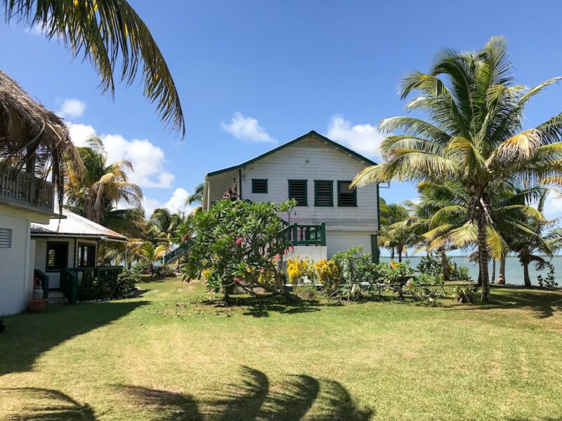
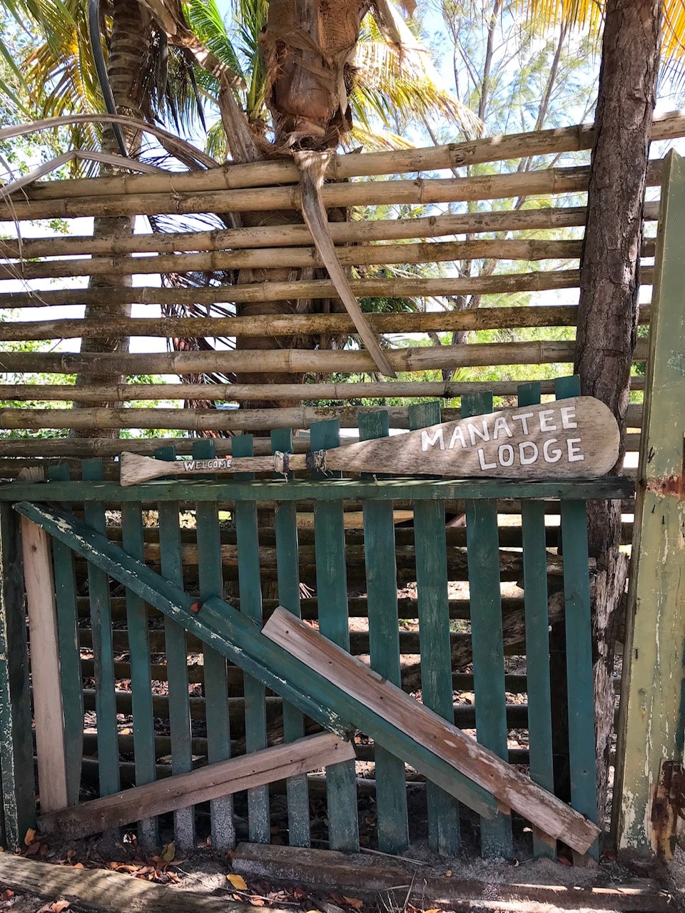
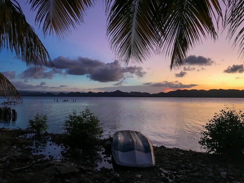
We were staying at the Manatee Lodge – an AMAZING property on the tip of this tiny peninsula. Surrounded by the lagoon – the Sibun Hills and the Maya Mountains to the west. The views are almost unbelievable.
To the west.
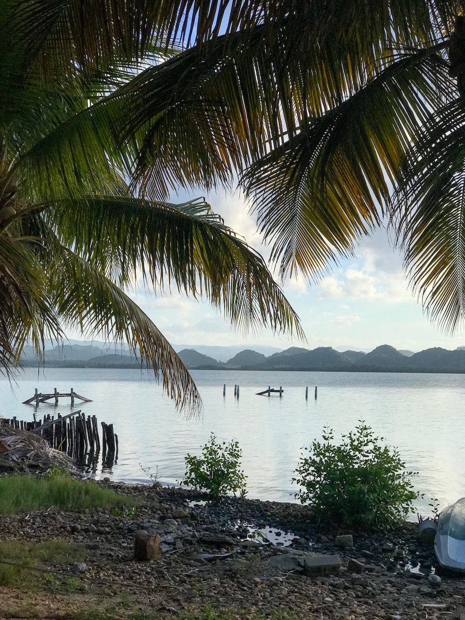
At sunset.
Simple but LARGE rooms.
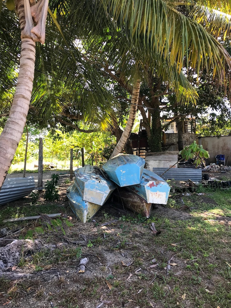
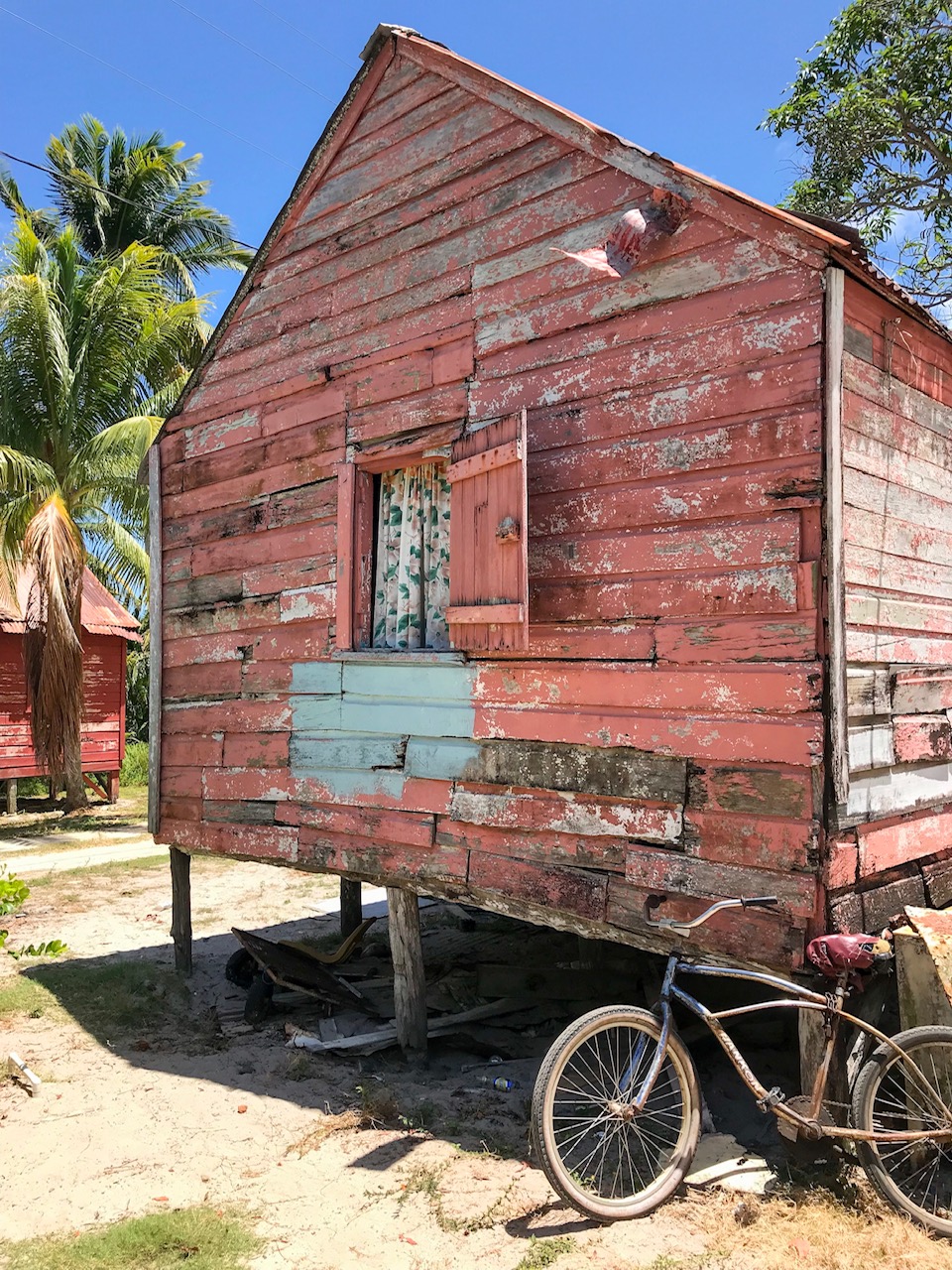
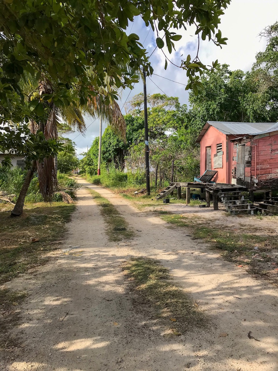
And then some pictures down the road. The whole peninsula is “the village” – there is a primary school, one bar and restaurant (and family home), a few churches and a smattering of homes. I bought a liter of homemade coconut oil when we stopped to say hello to one gentleman.
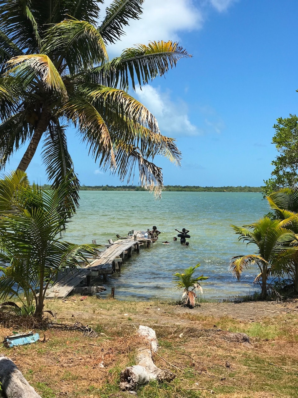
Kids swimming at Gentle’s dock. This looks east – to the thin strip of land that separates the Southern Lagoon from the ocean. That thin strip is where the turtles nest.
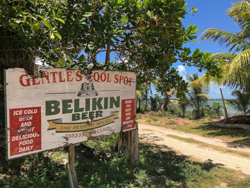
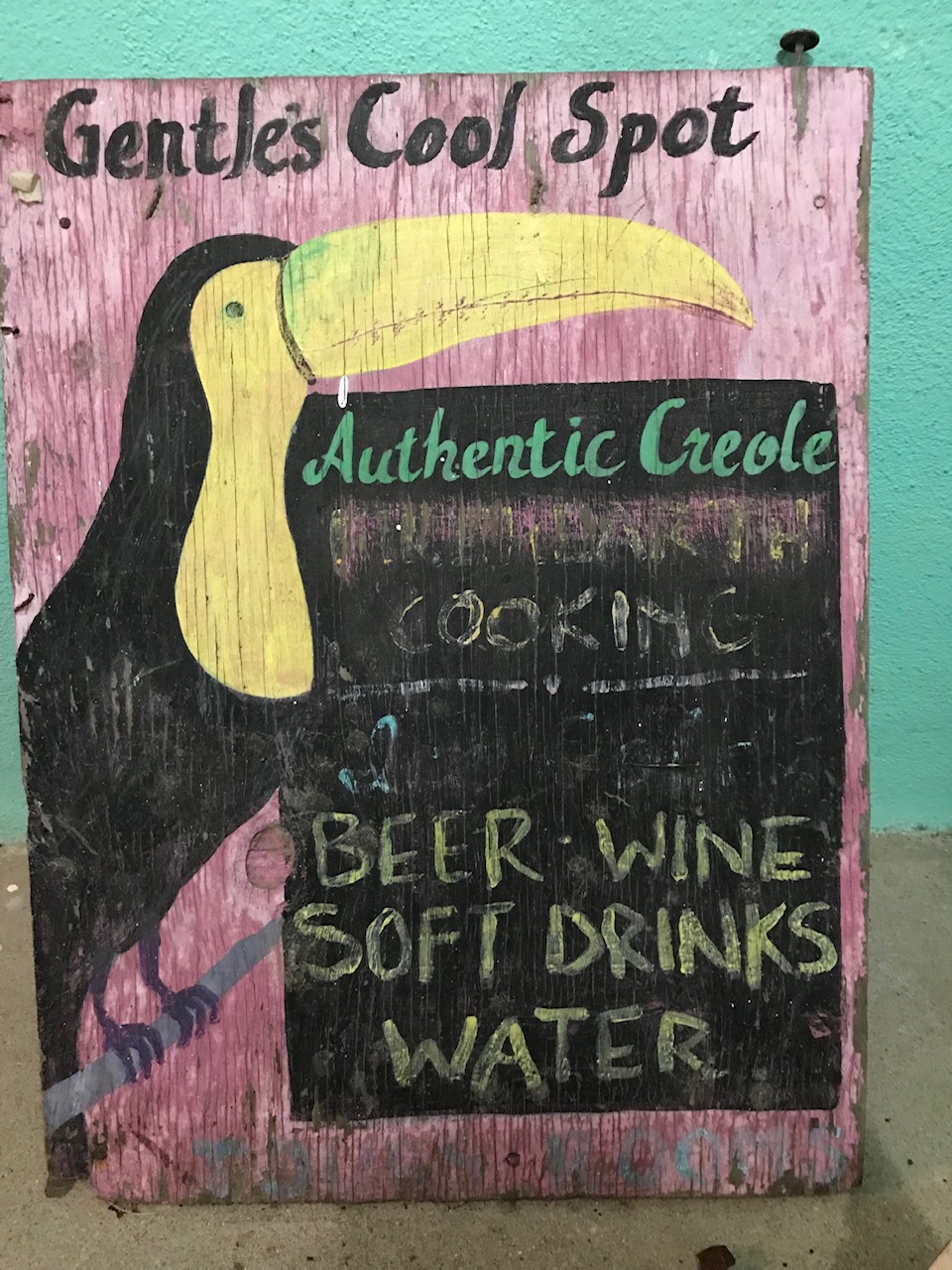
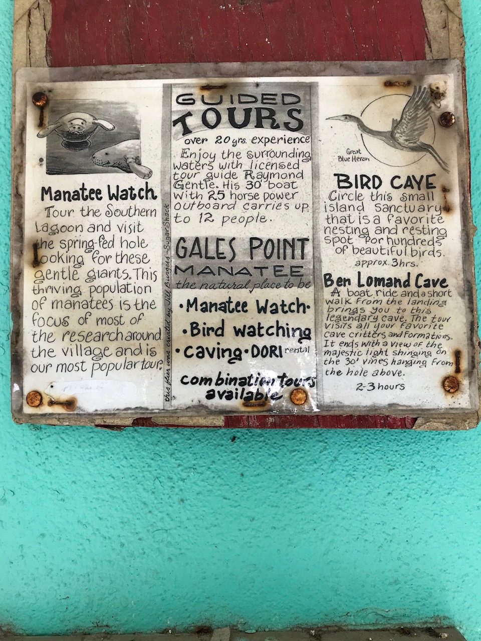
A sign at Gentle’s.
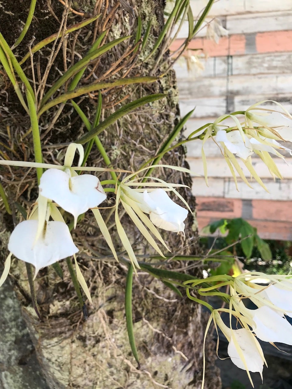
A beautiful breadfruit tree with orchids blooming all up the side.
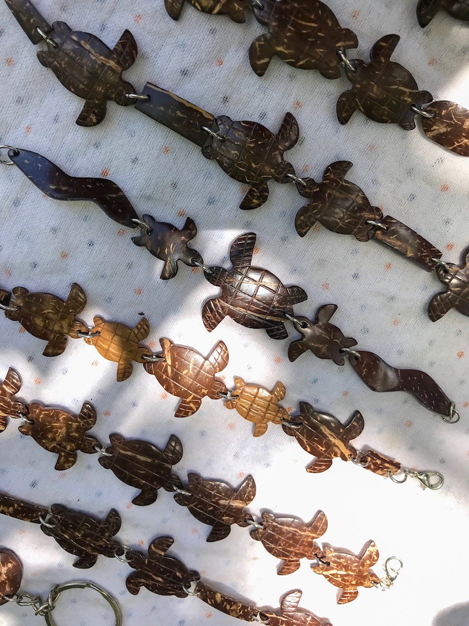
A woman selling these BEAUTIFUL carved coconut shells – shaped like manatees and turtles to the few visitors that come through.
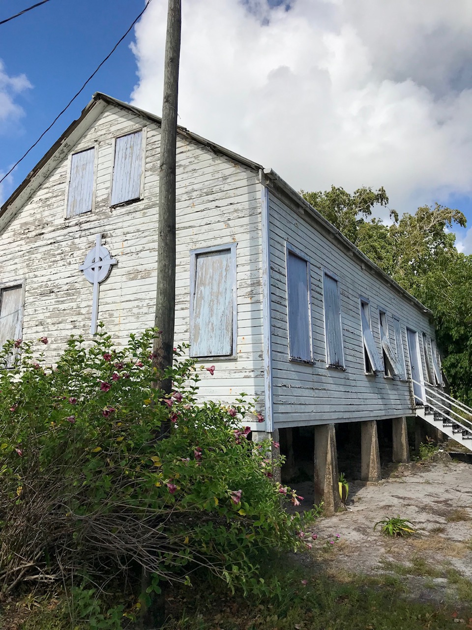
This pretty church that has been boarded up for a while.
“Main” street – the only road.
I left San Pedro on the 6am water taxi to Belize City – and by about 11:30am we were in Gales Point ready to spend an afternoon cleaning the beach for the Hawksbill Turtle hatchlings.
The Hawksbill Turtles of Gales Point
While Gales Point village is located on a spit of land jutting into a salt water lagoon called the Southern Lagoon, they are just a couple of miles for the ocean and the nesting beach.
This map shows all the “water action” in the area – the rivers and the lagoons and the creeks comign from the mountains. Once rains start, I can only imagine this becomes a very different place!
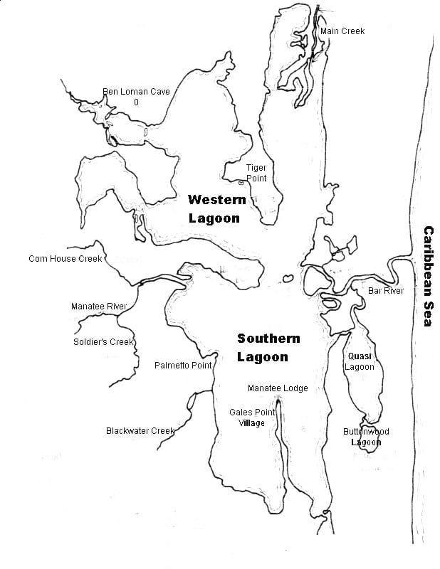
And that strip of beach along the Caribbean Sea is where the turtles nest. 6 miles with just one intriguing looking lodge called Leaning Palm Resort and not much else.
Students from a US college come down each year to work with Kevin and the Gales Point Wildlife Sanctuary each year. They have a GREAT website with tons of information.
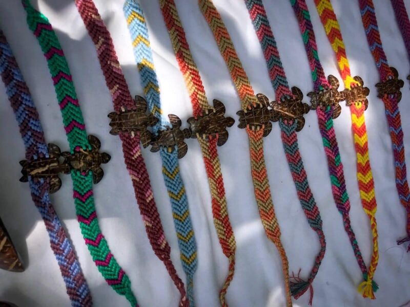
This video shows beautifully how the village works to save the turtles. (Even the woman who sold me the bracelet is included)
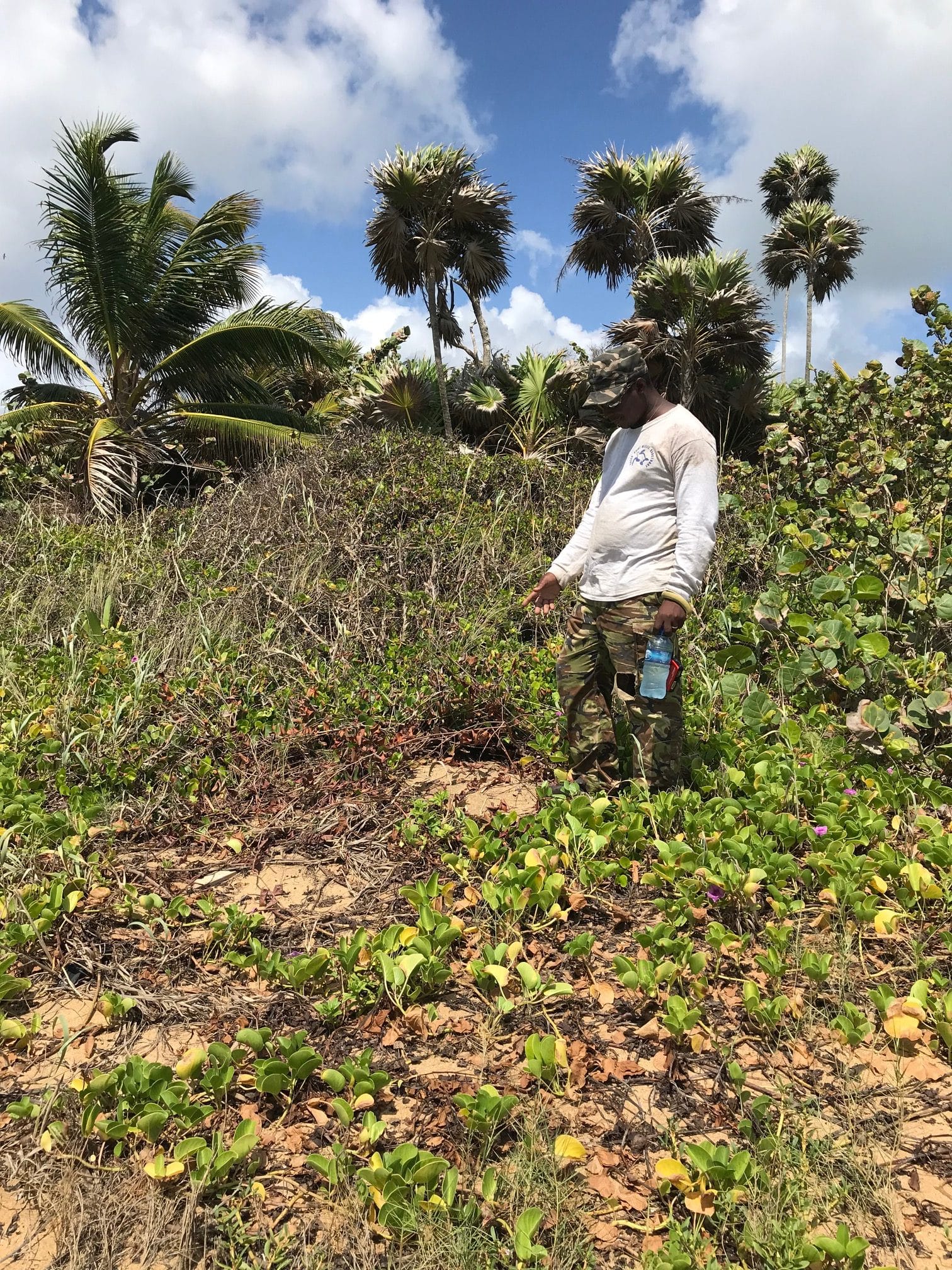
We drove out to the beach but for the most part, villagers canoe across the lagoon and hike 2 miles to beach. REMOTE. Kevin, the chair of the sanctuary, or his father walk the beach every night during nesting season.
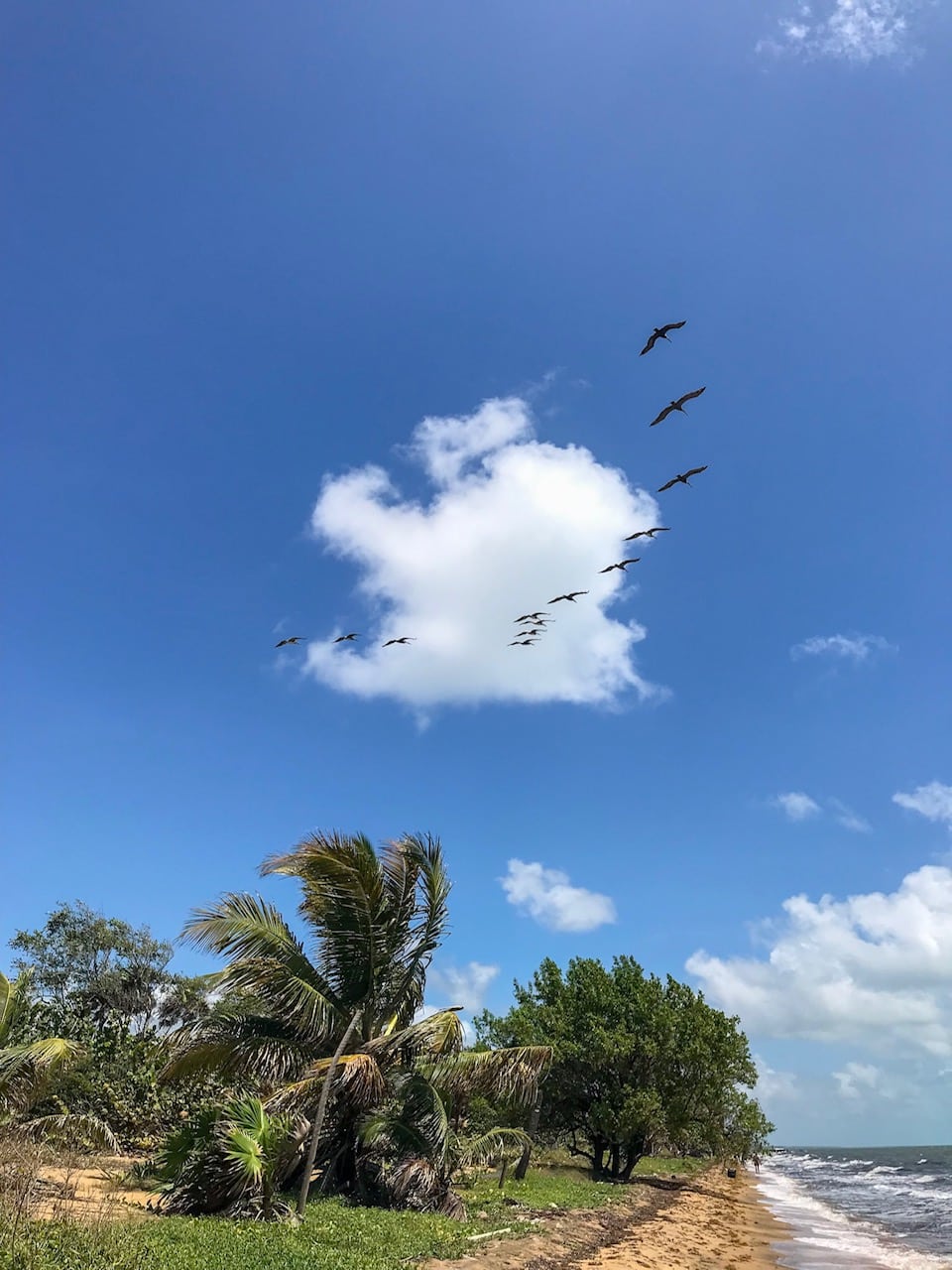
The sand is river rock sand and gets RED HOT in the sun. The “bush” grows right to the water in some spots making it ideal for the turtle nesting. (How many spots in the Caribbean have bush growing to the water like this?)
Kevin quickly found a new nest – mama turtle pushes way back. See that clearing just below him?
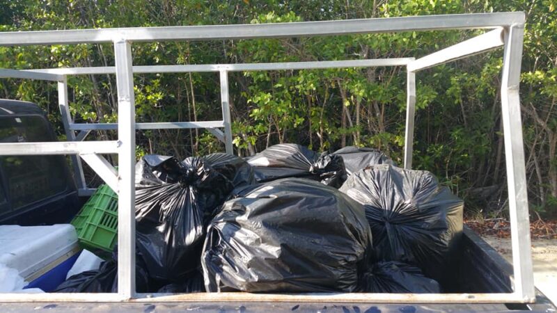
We were not there to clean up all the trash – the job would be overwhelming. Garbage from the incoming sea and from rivers washes up all along the beach. Much of it from Belize – some from places far away.
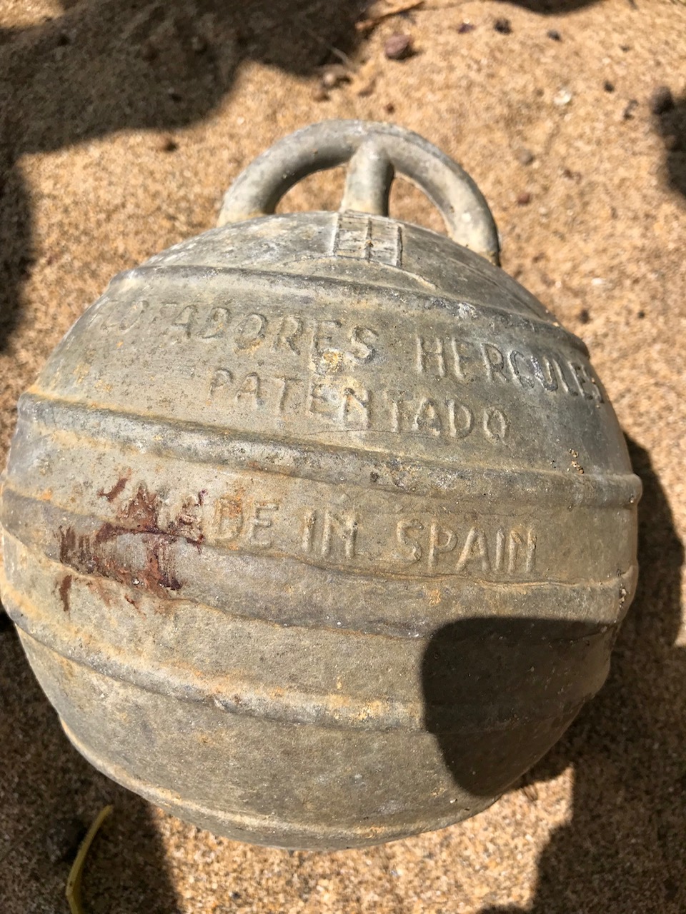
I found this cool buoy.
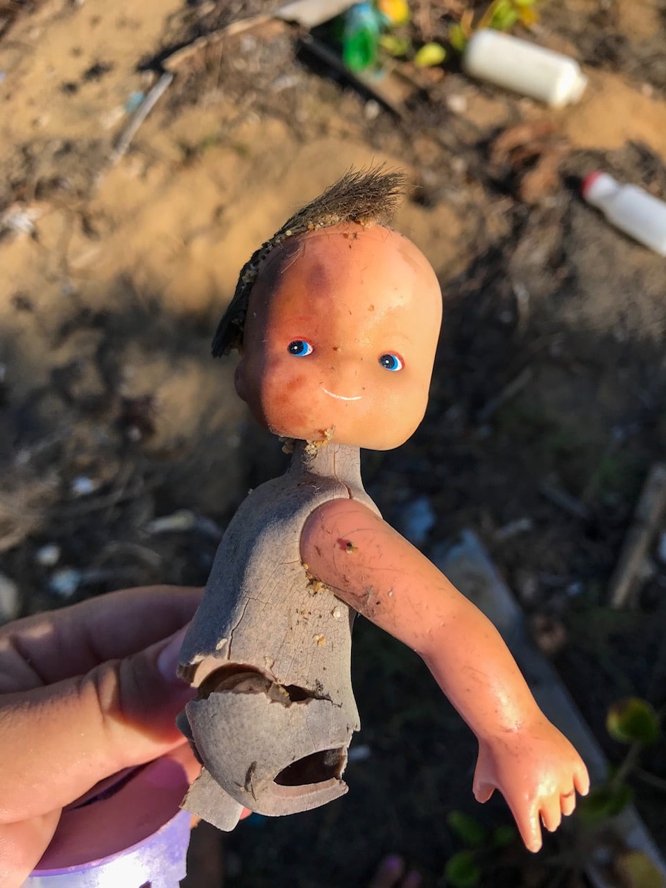
And this creepy doll head – thinking of starting a collection of these. Perhaps a Halloween decoration?
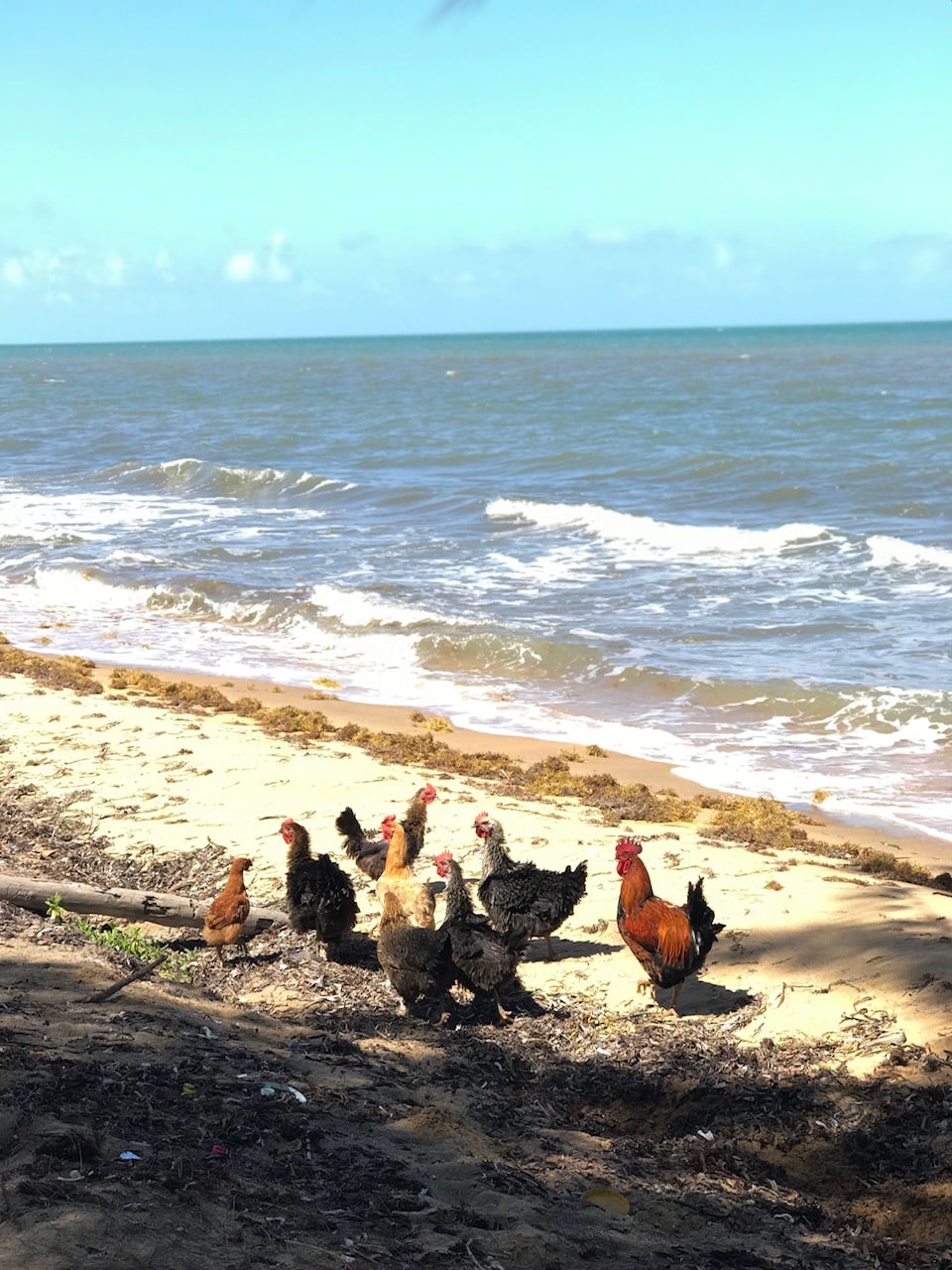
When was the last time you saw chickens rinsing off in the sea?
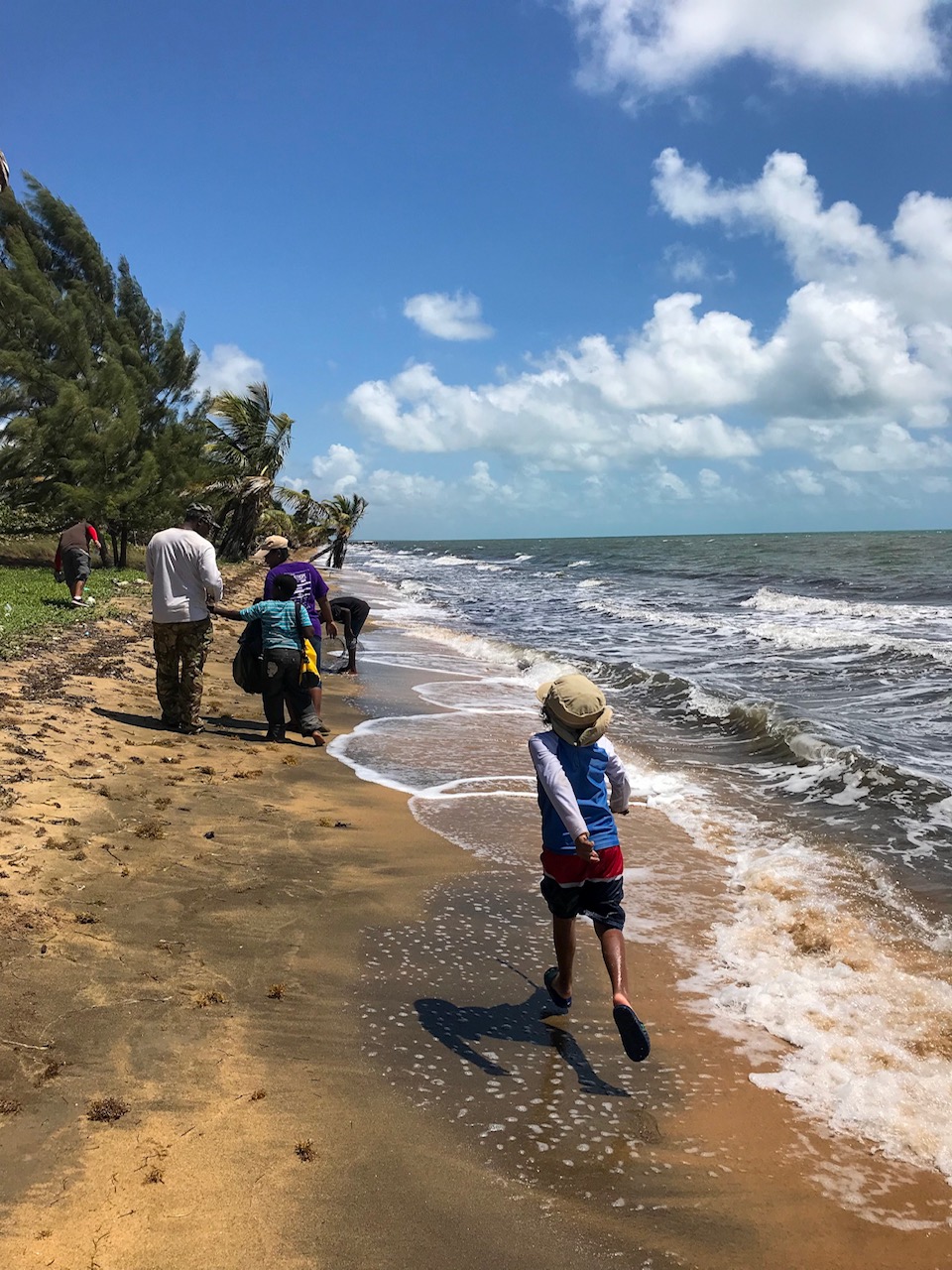
 We were a small group – mostly tour guides from Belize City and Cayo – and we got to work. Looking for things that could slow down or stop a tiny baby turtle making a mad scramble to the open ocean.
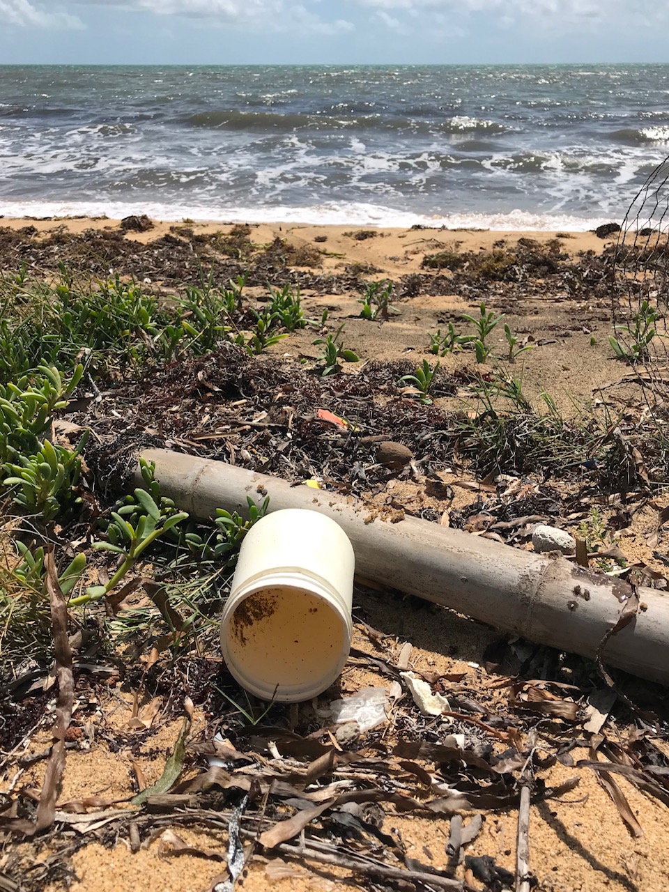
SO many plastic cups on the beach. Good lord.
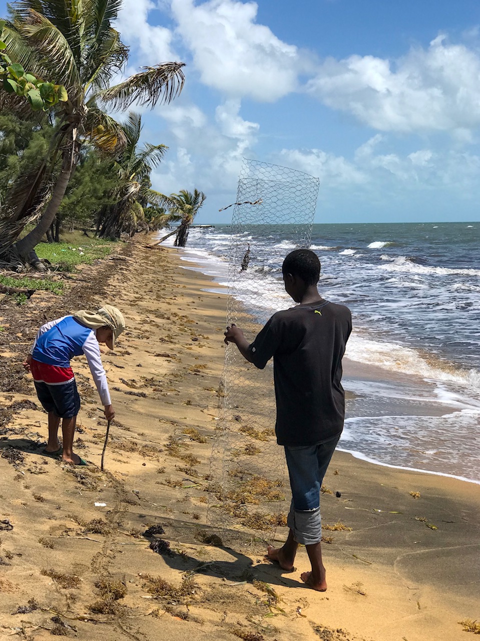
A local teen with chicken wire – to cover any newfound nests for protection against animals. The season we are experiencing a serious drought and inland animals are coming to the beach to look for food. One of our volunteers even saw big cat prints on the beach – probably a jaguar.
IMAGINE SEEING A JAGUAR ON THE BEACH? Oh I’d die of happiness – after probably passing out from fear.
A tiny turtle that didn’t make his way to sea. They are almost always released at night to give them a fighting chance against hungry sea birds.
Just a few inches across, I could probably fit a few in my palm…
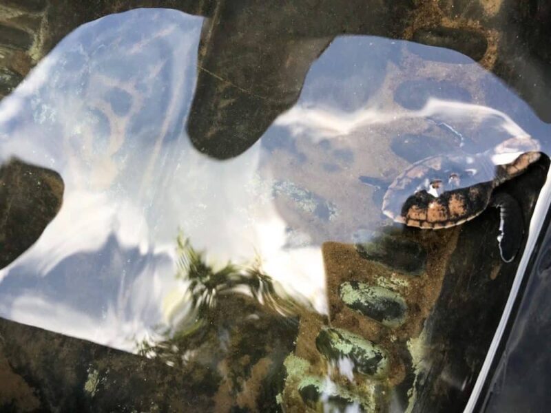
Can you spot the turtle?

Our first afternoon’s haul – we would be back the next morning for a few more hours before it was time to head back to Belize City.
It’s not easy work – the sun is HOT and the trash is almost overwhelming. But just watching Kevin find a new nest – 15 to 20 feet from the water line and pushed under the sea grape brush – is AMAZING. To think that 150 eggs are a few feet down…waiting to hatch…so that the babies can struggle to the sea and then maybe return on day to this beach to lay their own clutch?
It’s so crazy worth it.
And I hope to be back soon to explore the area – and look for tarpon with the “Tarpon King” and find manatees in the lagoon. What a beautiful beautiful spot.
For information on how you can support this AMAZING community effort – check out this website and…stay tuned. There will be another weekend blitz cleanup organized for next August. I will let you all know when.
Hopefully the weather is as AMAZING as it was for us.
SWIM LITTLE TURTLES! SWIM!
I hope I described this so that you get a sense of how cool this area is. It was so much!
I’ve also included some posts at the bottom of other REALLY cool, different spots I’ve visited in Belize.
Posted in: