Secret Beach Area: Houses Starting to Go All Over the Place
When I first moved to the island (2007) – the entire gorgeous west coast of Ambergris Caye was only reachable by boat.
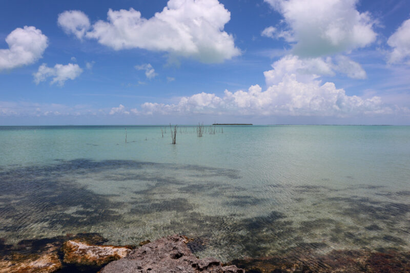
An area for fishermen and very few others. Both catch and release for the flyfishermen and and those catching food – fish and lobster. You can see an old fish trap below.
And then…in about 2010/2011…a road was completed across the island – from east to west- to give access to a slew of lots that were being called Grand Belizean Estates. The area wasn’t exactly grand and there were no estates – more like scraggly, sometimes swampy, non-waterfront lots on the west side of the island. But they were cheap!
At the time, I thought it was the middle of nowhere! (Though at that time, I thought going north of the bridge was an EPIC journey)
Here’s a map I found from 2015. I remember salespeople in San Pedro selling lots for around $20Kbzd…you could do very reasonable payment plans. No electricity or water or sewage but cheap land on the island. An investment.
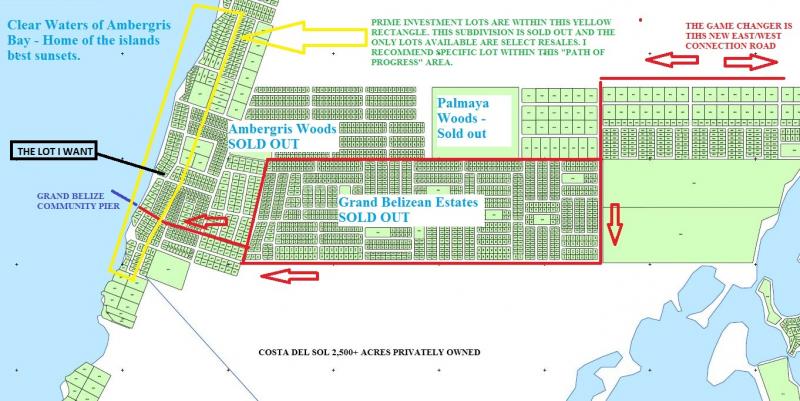
If you really want to dig – here is some of the history and controversy around this whole project.
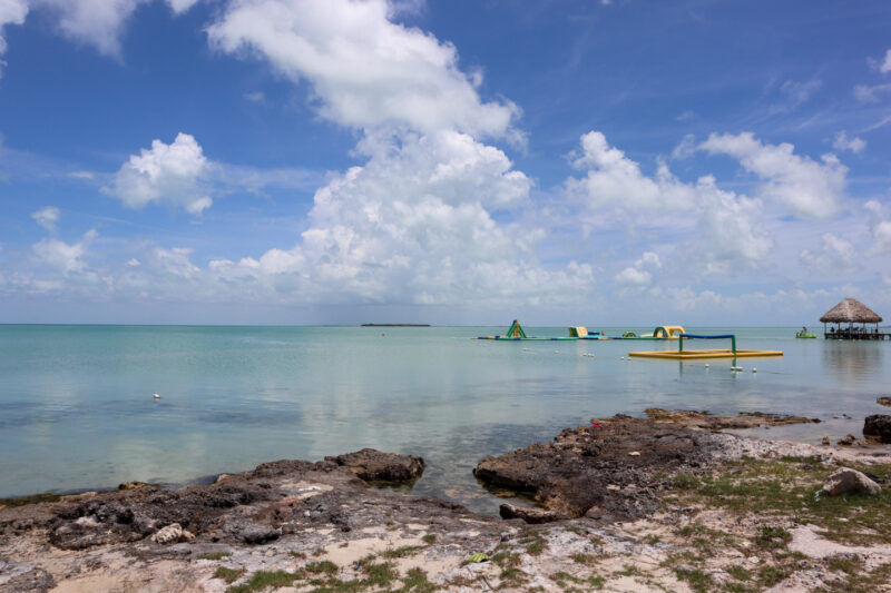
The beach out there – and the Grand Belize Community Pier (you can see it above) was truly a secret. You could head out on a Tuesday and be alone…for hours. (Here’s a look in 2014…still pretty secret though I declared that “the jig was up” because there were 4 other carts there)
It wasn’t a secret for much longer. Bars and restaurants opened along the waterfront – and the shoreline has become the most popular destination for people visiting Ambergris Caye.
I get it…the water, the view and the shallow sandy bottom are incredible. Patches of pretty beach and then craggy stone.
Here’s a photo from yesterday.
But very little was built off the beach. One…and then three…even in 2019, there were only a handful of homes.
But yesterday, we drove out there and there is a ton of activity! Both on the beach but also off it. I thought I’d take some pics and show them to you.
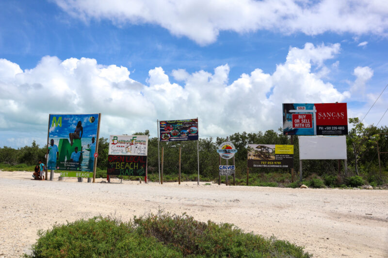
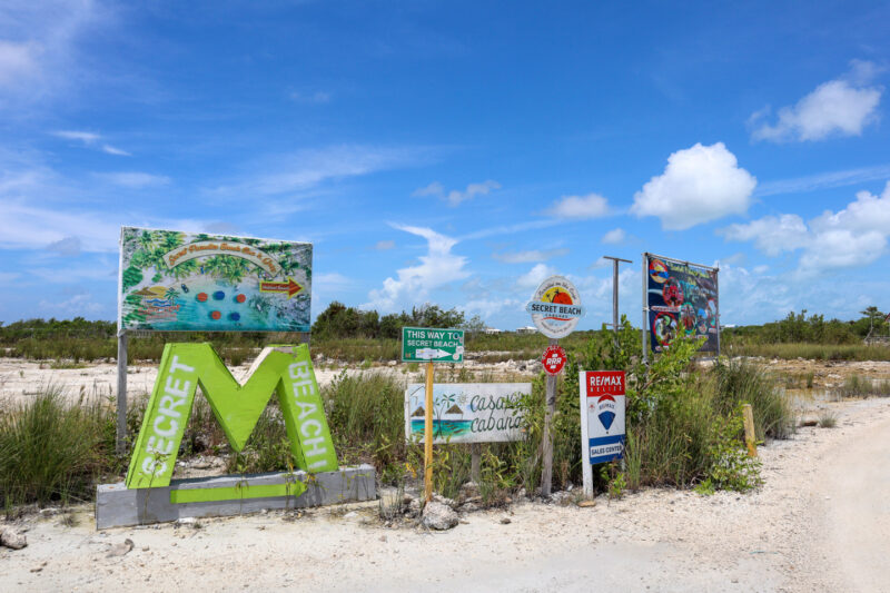
If you drive north from San Pedro town, you will see all of these signs. That’s the turn to Secret Beach.
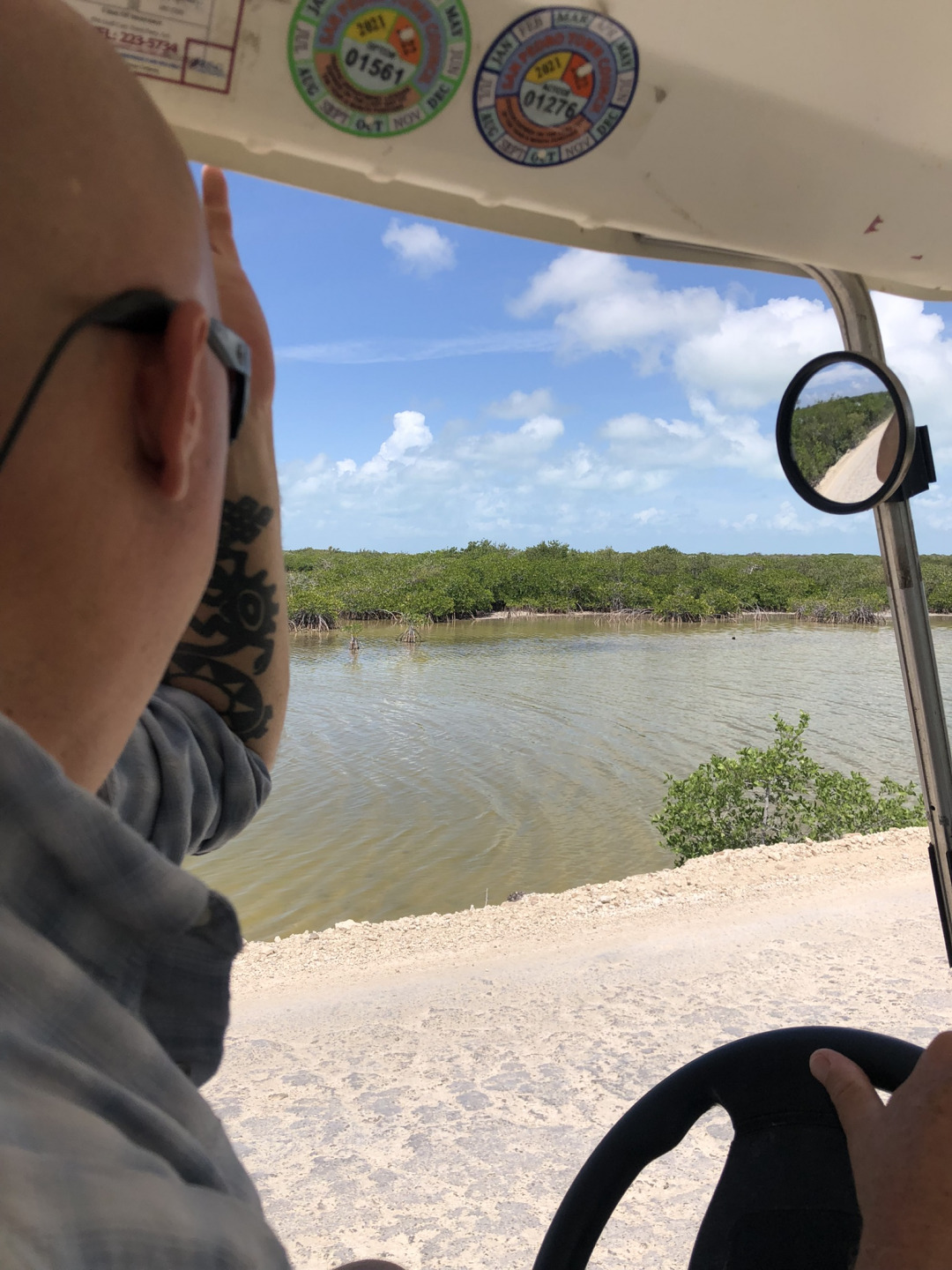
And then it’s a few miles out there – a road that cuts across the Mata Lagoon.
Here’s Jeff watching for fish rather than watching the very bumpy road. I call it eye-fishing. It’s not a good idea.
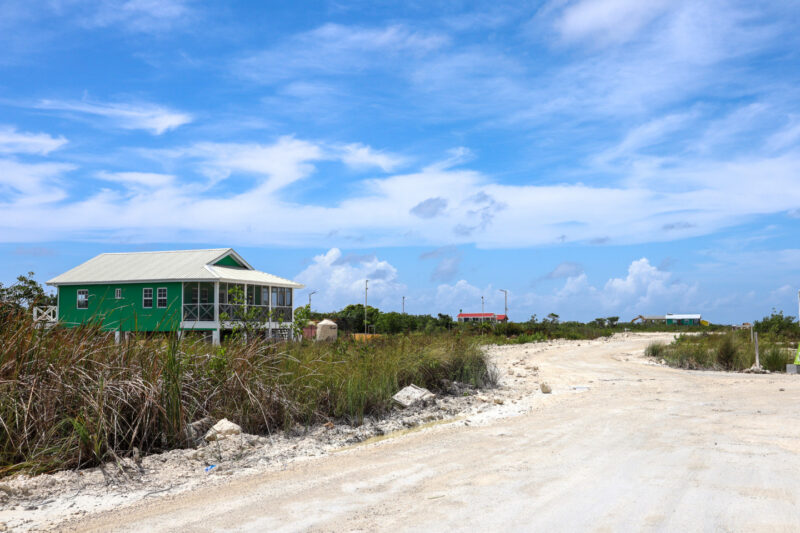
And then…homes!
And more signs to show you the way to the beach. And…the national animals of Secret Beach, the real estate sign. They are EVERYWHERE!
A little kiosk area for sale?
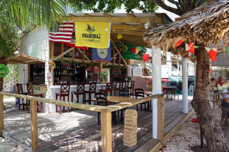
Guapo’s First and Last Stop Bar is the first business you find. They have a great BBQ on Sundays.
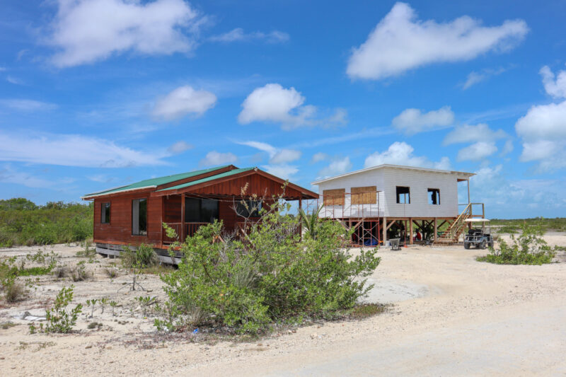
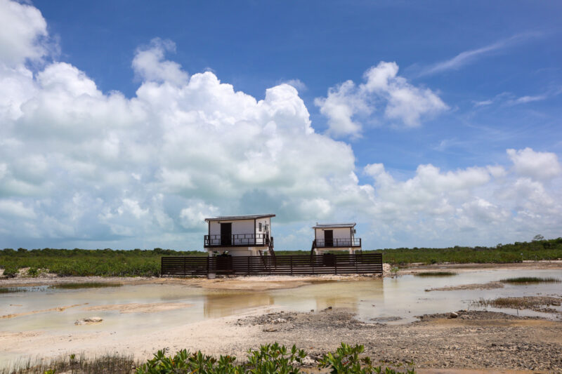
I’m not sure if people are living in these homes…or if they are model homes…almost all have solar panels. There is no electricity running out this way.
These…maybe for those looking for the tiny house life?
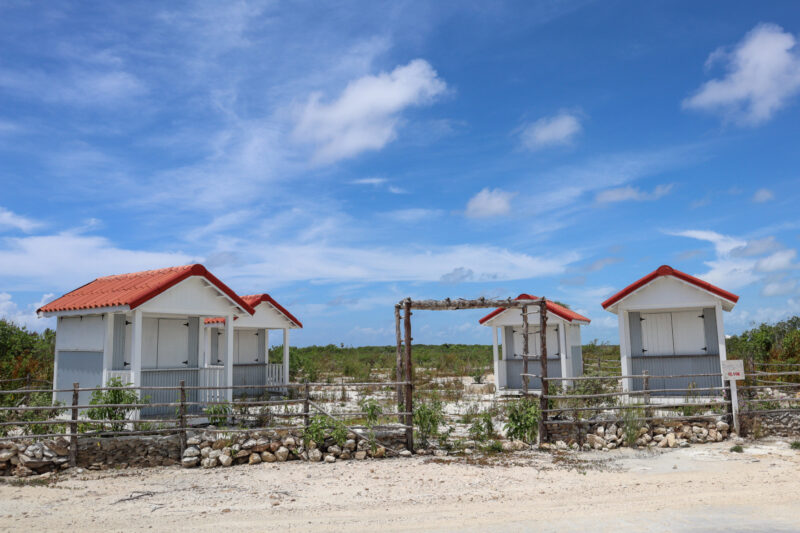
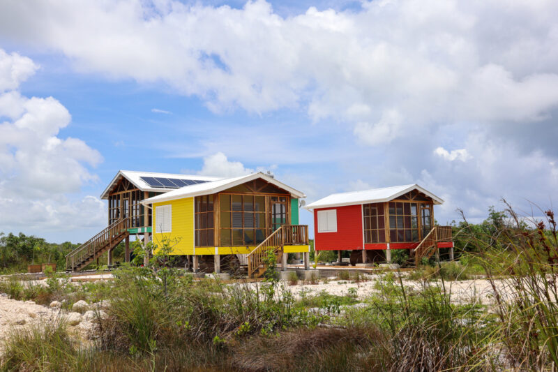
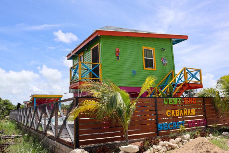
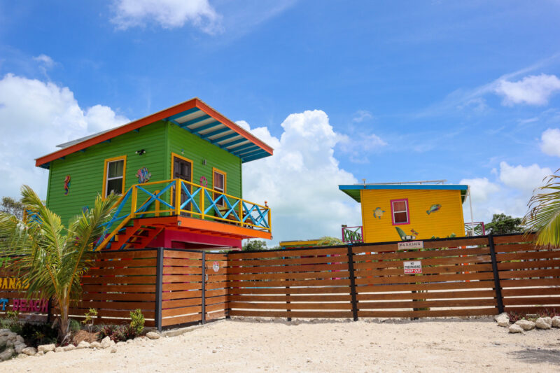
And then lodging..cabanas – I’m guessing – about a mile from Secret Beach. There’s even a pool.
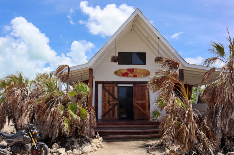
And then the new location for Roadkill Bar is coming together quickly. (Here’s where Roadkill used to be)
The owner, Leo, told me it’s opening soon.
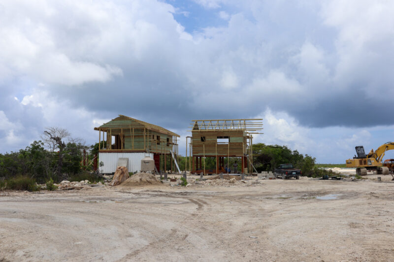
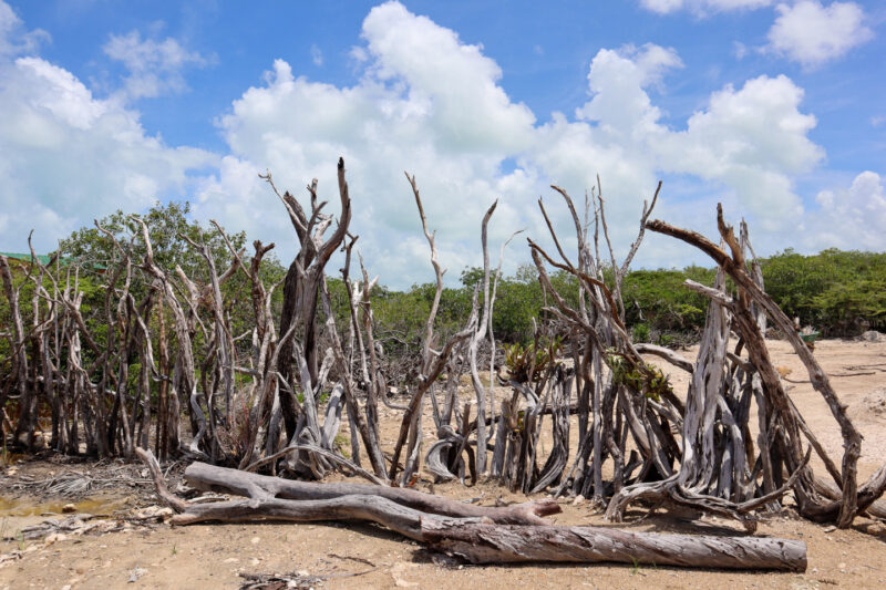
A home building operation.
WIth a very cool fence.
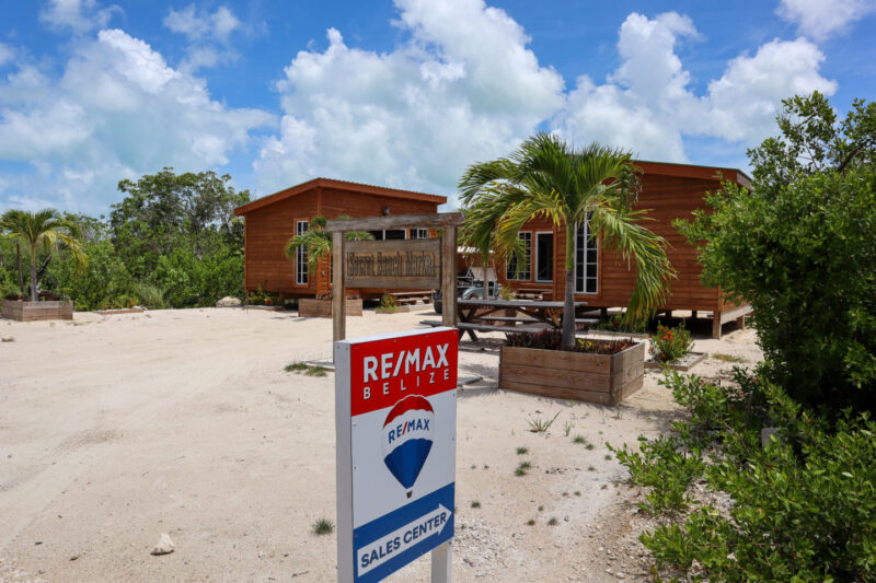
A real estate office…
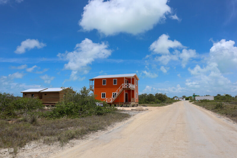
A house much closer to the water…in a very pretty burnt orange.
And then we arrived at Secret Beach proper…the bars are to the right (north) and to the left (south).
We started by driving north – there is a rugged road that now goes quite a way up…a few miles, I would venture. And I’m show you more later! But man…things are going up! All sizes…
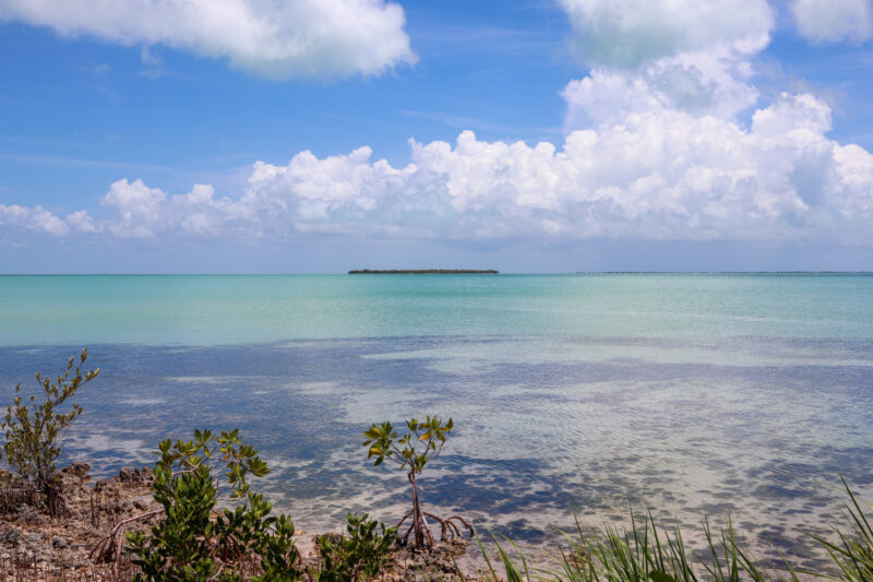
And what a pretty HOT day. The water crystal clear and the view out to Cayo Rosario, amazing. Felt like you can walk right out there.
Posted in: