A Drive Way up North on Ambergris Caye & My First View of the Old Shrimp Farm
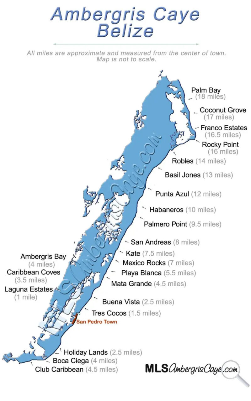
Yesterday, we took a drive WAY up north. A way off the beaten path on Ambergris Caye (you can’t even see the beaten path from up here). Jeff does this drive maybe 4 or 5 times a year…if he can…for flyfishing opportunities. The farther north you get, the closer you get to the two points where the barrier reef meets the land – first at Robles Point and then again, at Rocky Point.
Much of this area is Bacalar Chico National Park and a UNESCO world heritage site.
Here is a map where you can see the area that is like nowhere else in the world.
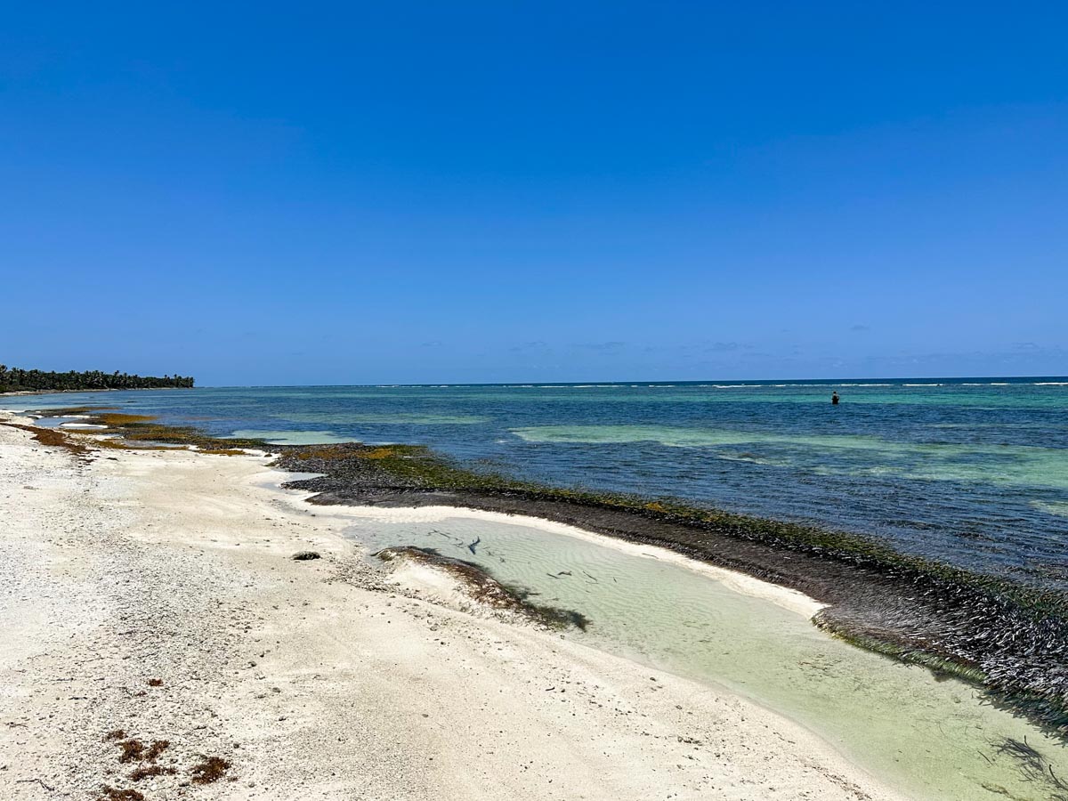
You can see the trip in 2015 (look at the beach!) and just a few months ago.
And now my HUGE CAVEATS! There is “road” work and re-routing happening way up north. 1. to divert people around the new Margaritaville (it is a HUGE property and the new path takes you on a bumpy ride around it) and 2. North of Tranquility Bay – people are working on a “road” away from the beachfront – behind the properties. It is bumpy and confusing and somewhere you don’t want to get lost. Also, 3. IT IS TURTLE NESTING SEASON! And I’m not sure what would insure your spot in hell more firmly than messing with the nest of an endangered loggerhead.
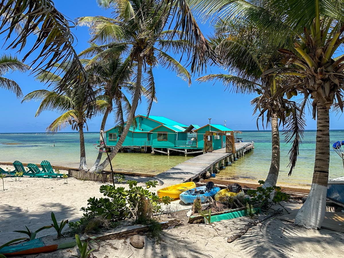
For now, I would stop at Tranquility Bay at Mile 14. And why not? It’s a GOOORGEOUS stop for lunch and swimming, sunning, and cocktails. Let me show you a few pictures from Tranquility Bay (which is under new ownership and new management in the past month or so)
Our buddy Mr. Pany Arceo (the greatest guide around) is now managing (again!) He was in charge of this amazing, one-of-a-kind spot about 10 years ago…
Pany, Jeff, Jeff’s nephew Vishal and his friend Jess
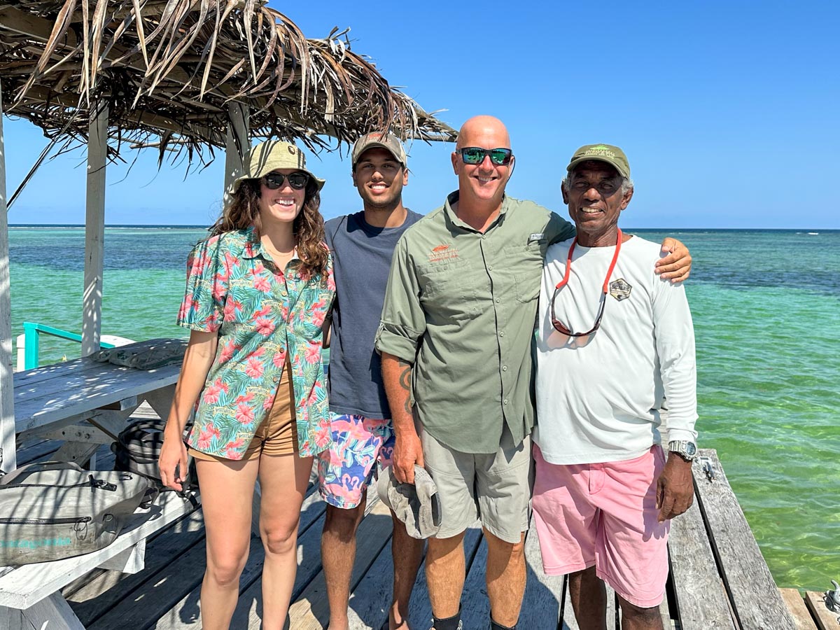
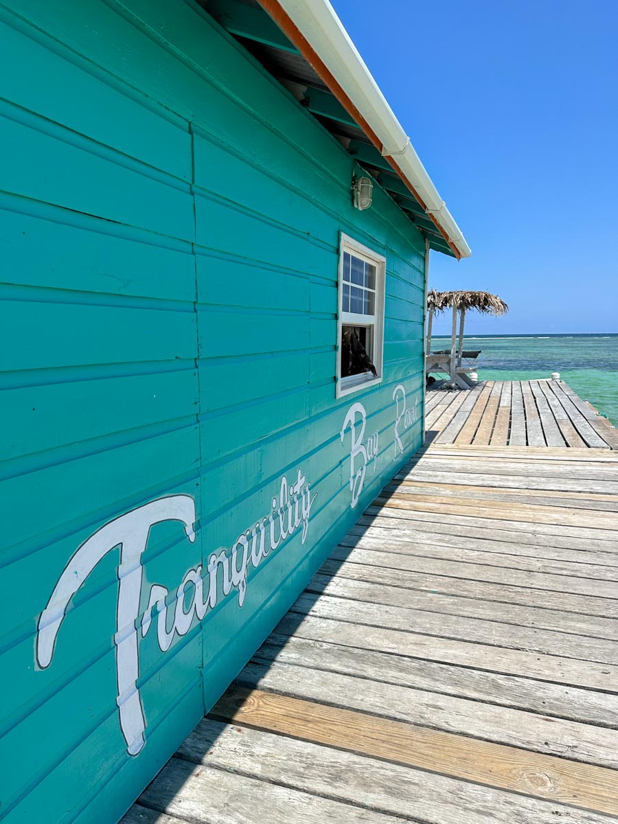
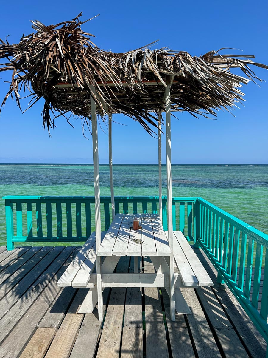
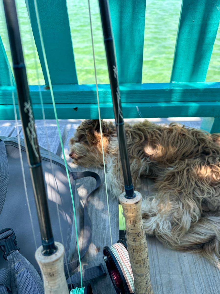
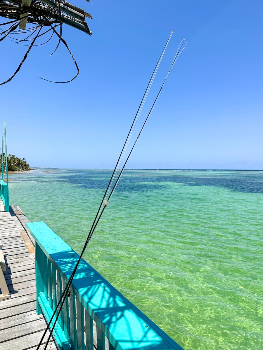
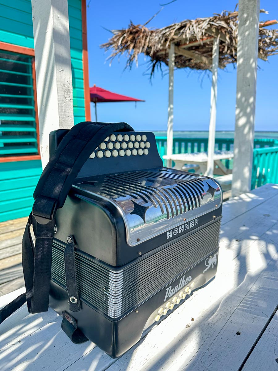
Pany even serenaded us with “The Star Spangled Banner” on his accordion. (Such a good instrument)
And now heading farther north. I would not do this trip on my own – I’d surely get turned around on these new dirt paths. (And frustrated by all the bumps)
This is a particularly good section of the road…

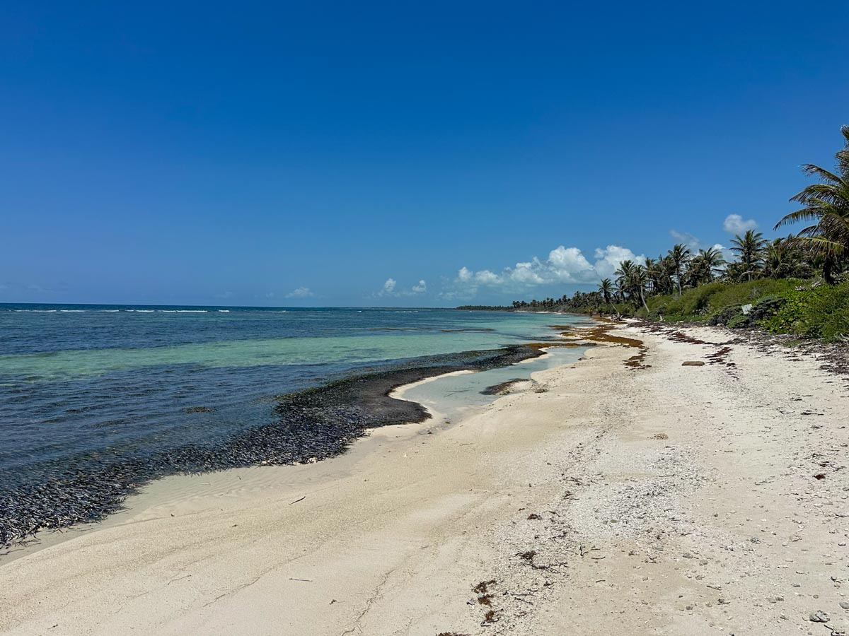
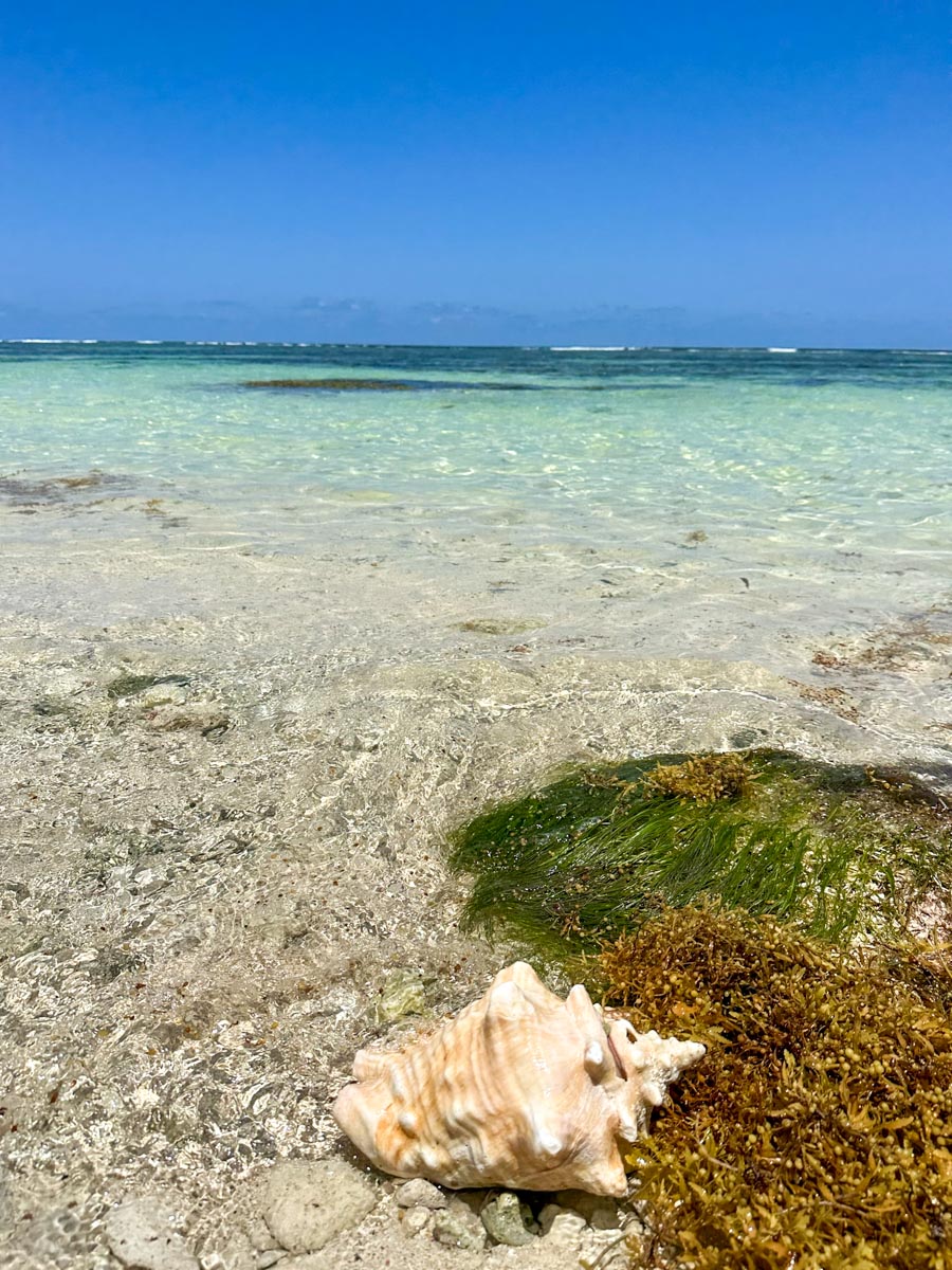
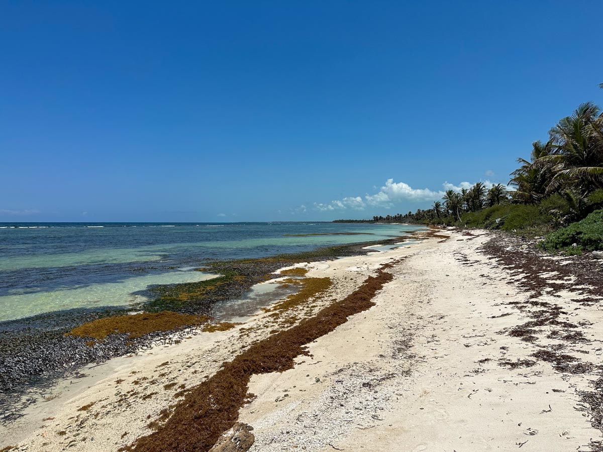
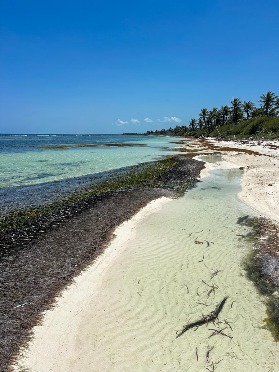
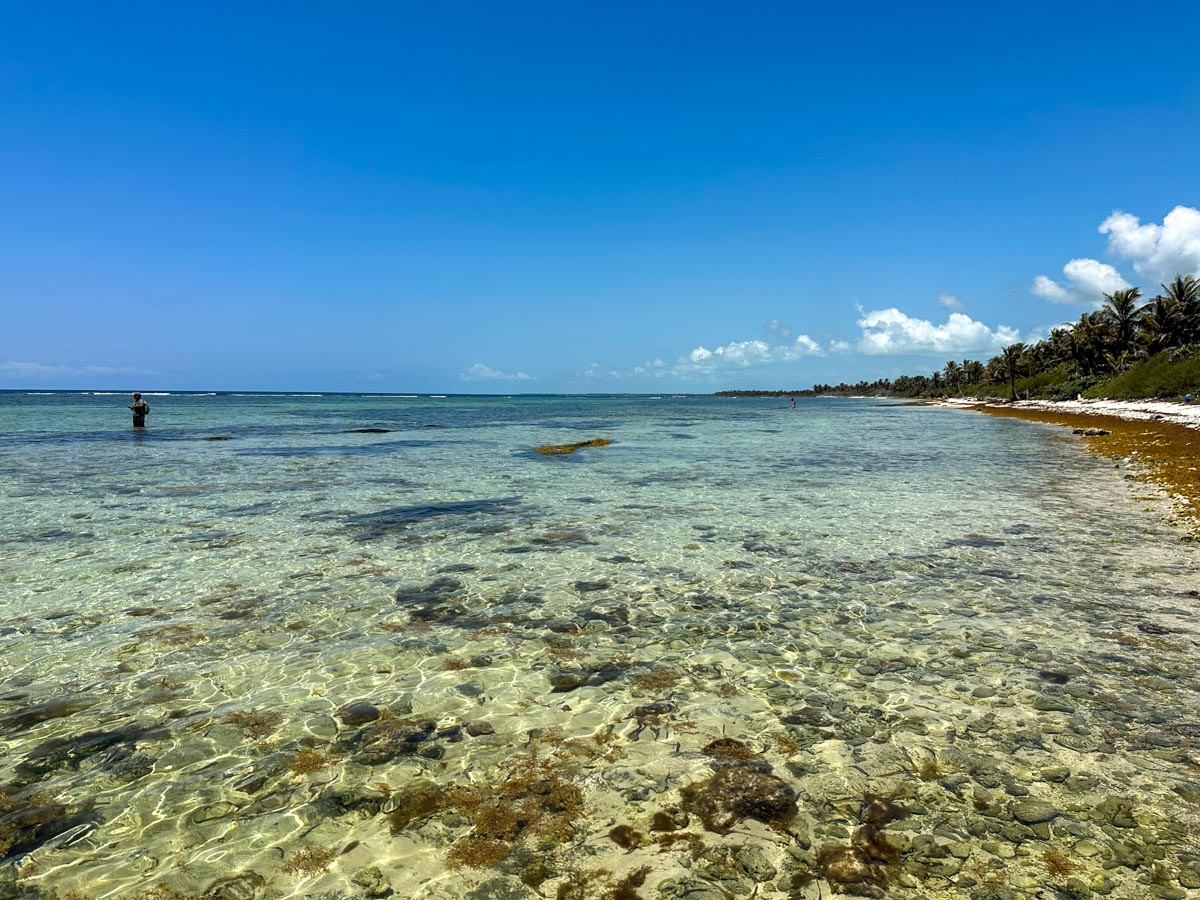
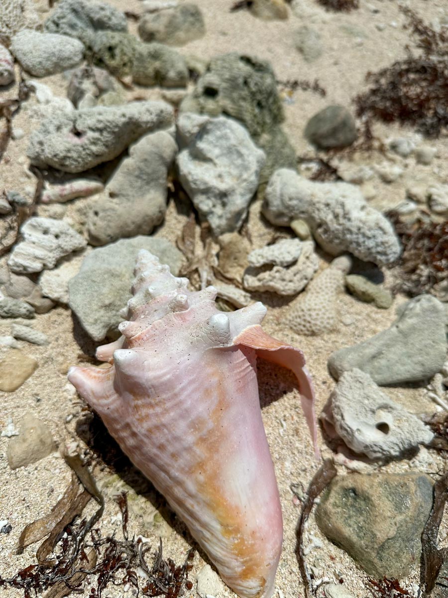
There are pockets of sand but lots and lots of shells and old coral chunks which are….not friends of your barefeet.
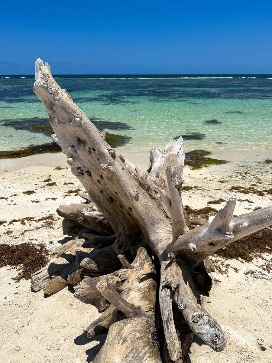
Ok…enough of the water and beach and reef…we started the laborious ride back home (and remember, we live at 8 miles north so to reach town….this rides got to be 2.5 hours?)
Between Margaritaville (Mile 13) and Tranquility Bay Resort (Mile 14) is what I’ve always known as “the old shrimp farm”…a cement dock on the ocean and a road back into da bush.
This is the first time I’ve actually seen it! And…you wouldn’t be far off if you pictured a tropical meth/drug lab.
This intriguing, very old school website says that the shrimp farm was built in 1997/1998 around an airstrip that was built in the 1950s by an oil company. Very interesting.
That’s kinda what some of the structures look like…
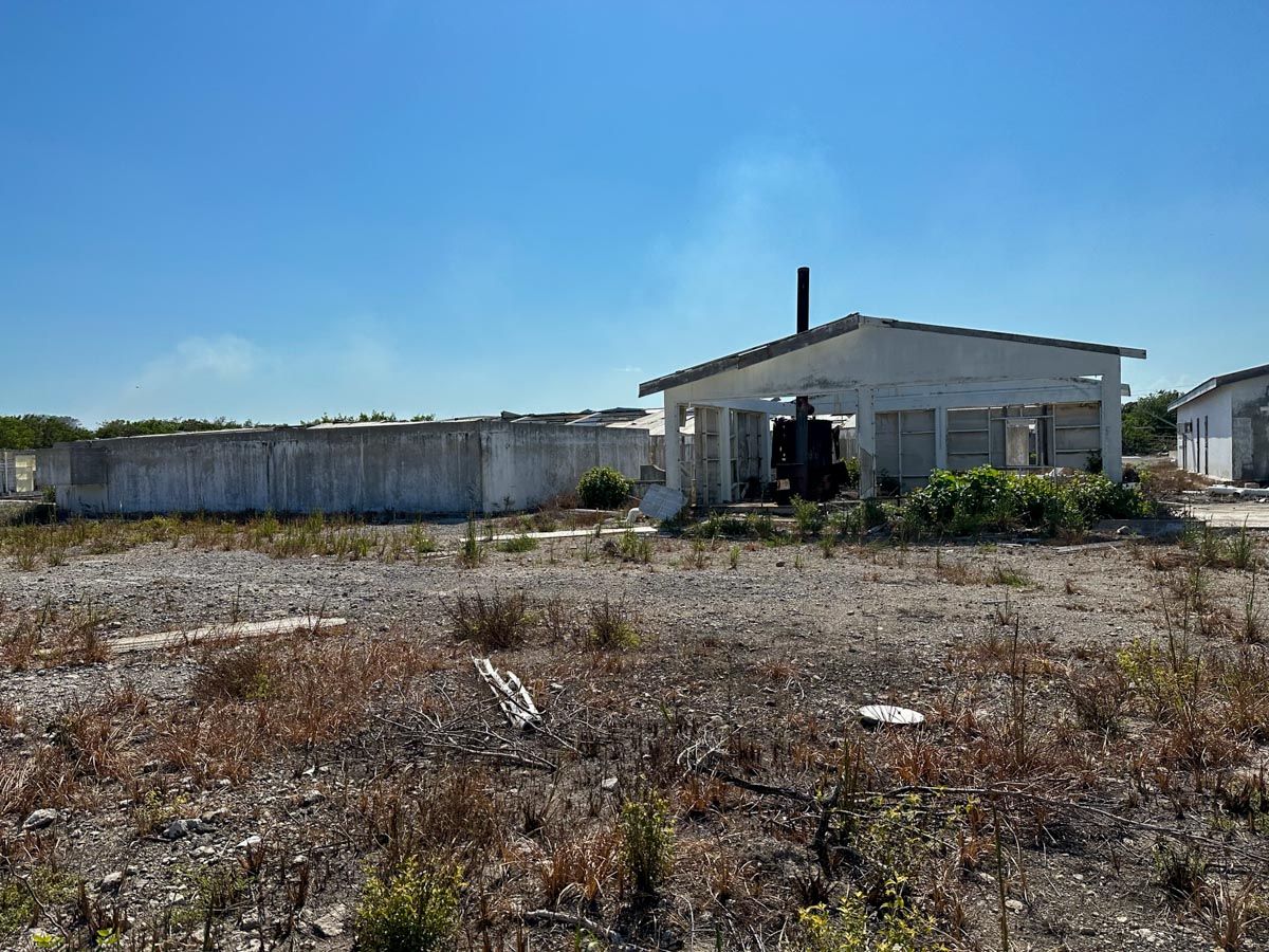
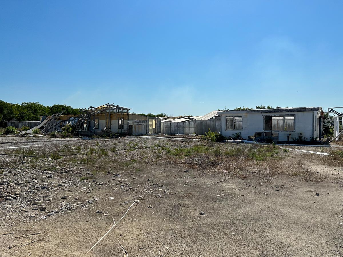
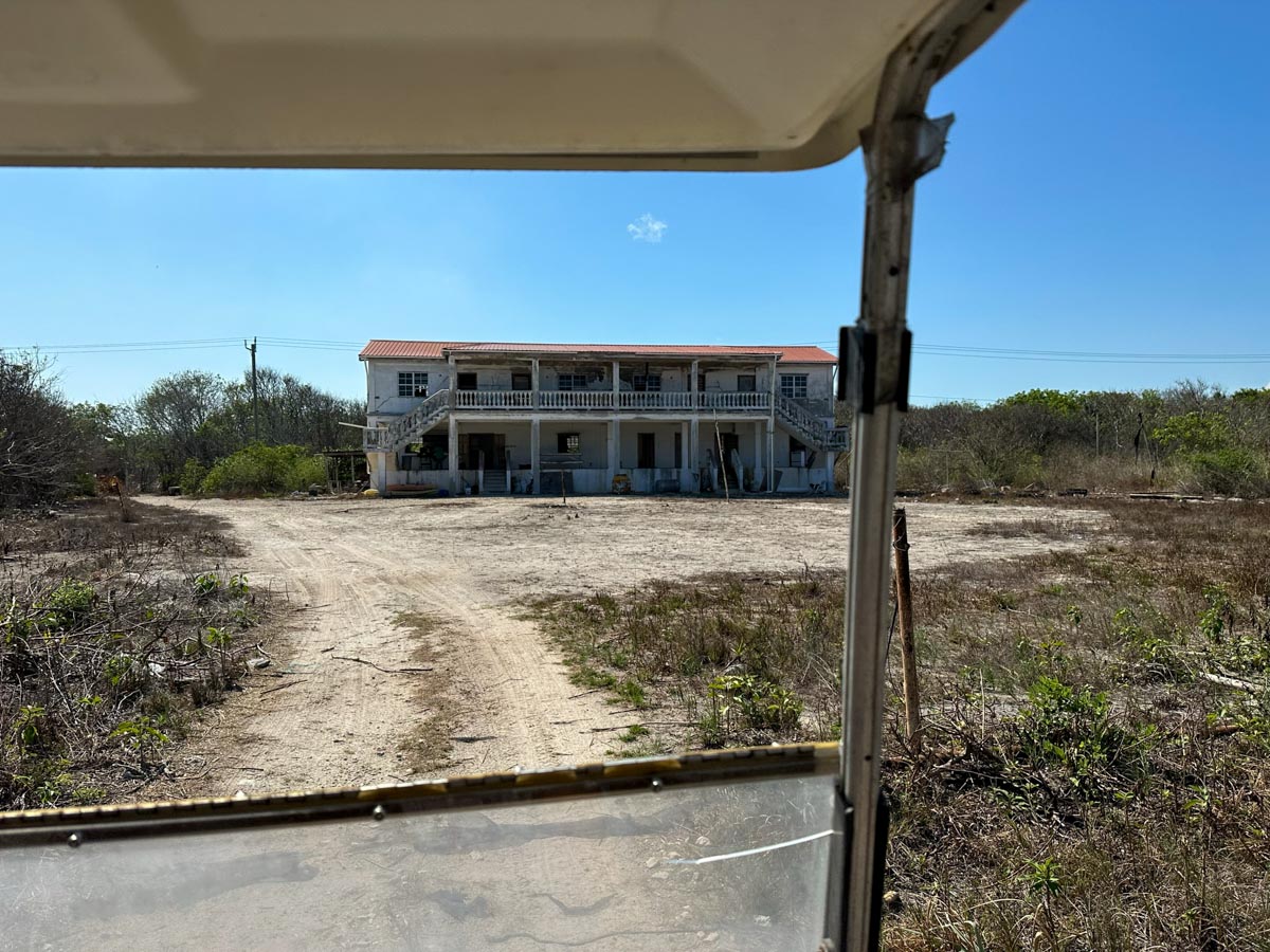
Imagine the haunted house setup you could do out here. It. would. be. INSANE!
That’s it for now…just wanted to share this beautiful, beautiful day with you all.
If you want to go diving or snorkeling way up here – and even FARTHER north, check with my friends at Elite Adventures Diving. Snorkeling, diving and lunch at Tranquility Bay.
Posted in:
I love that drive, we take it every trip. 40 more days to paradise!
Very interesting, been up there a few times with Daniel Nunez. They had a Christmas tree on the deck.
That place looks like something McAfee would have.
Why don’t you ditch the gc and get a RZR ?
Trust me, I would love that! It’s just a question of money 🙂 One day.
I have property in that area and plan to build a boutique resort like my cousin did in the San Andres area. However, it’s sad to see the water clarity and turquoise color fade away from what it was years ago, especially around TB.
It absolutely has…it’s the sargassum coming in since 2014/2015. And almost all of the beaches in that area just can’t be cleaned – no one to do it! It colors the water…
How far up is your spot? And I’m not sure where San Andres is…do you mean the island?
Now you’re just above my new place! Love it up there!
When do you anticipate publishing an updated guide to Ambergris Caye? I assume you’ll promote it on your website. This is still a dream destination for me!!! I can snorkel for hours.
I’m planning fall 2023 for the update 🙂
I like your new design and colors
Thank you! It was a big project…I’m so glad it’s done…
I have been following you for at least 2 years now and would love to meet up with you in June when we move to the Secret Beach area.
Have not been up that far on the Island yet. The roads by way of rented Golf cart are difficult to get too far on from town. Just the drive to Secret Beach takes it’s toll for the day!
We are planning to move there in approximately 5 years and will have plenty of time to spend up there exploring. Until then annual visits will suffice!
I hear you – we got home and I was BEAT. Dusty, slightly sunburned and sore. It’s a commitment for sure. Which I guess is a good thing…these areas should stay off-the-beaten-path…especially for the turtle season
Is anyone else no getting all the pictures mentioned in the Scoop?
Mine is working very slowly! Sent an email to my tech help. Thank you for letting me know…I never know if it’s just meinbelize 🙂