It’s Been a Slow Year for Sargassum on Ambergris Caye So Far
Stop! Before you panic that I’ve jinxed everything…the growth and flow of Sargassum around the Caribbean IS influenced by temperatures and currents, winds and pollution/fertilizer in the ocean – it’s not, as far as I know, affected by chat on the internet. But I’m not a scientist! So I’ll just give you some pictures, all from yesterday, all from north Ambergris Caye…
But first, if you are unfamiliar with sargassum, it’s a floating algae/seaweed that has always been in the Atlantic Ocean/Caribbean. Old Christopher Columbus spotted huge mats of it in the Sargasso Sea. But in the last decade, the patches have proliferated and have been plaguing the shores of the Caribbean, Central America, the southern US, South America and even Africa. We’ve had some bad years for sargassum on Ambergris Caye since then.
The pattern, I’ve found, is that it comes from about late January to late summer – and then the low winds/changing winds of the storm season and the north winds of winter – tend to push it away.
But this year…so far…has been relatively great. We’ve had a few influxes but nothing overwhelming yet.
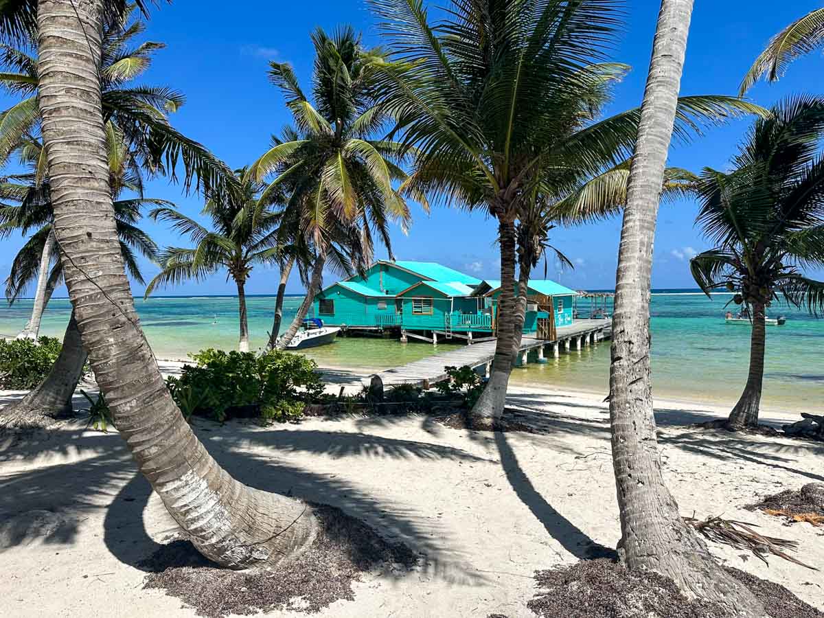
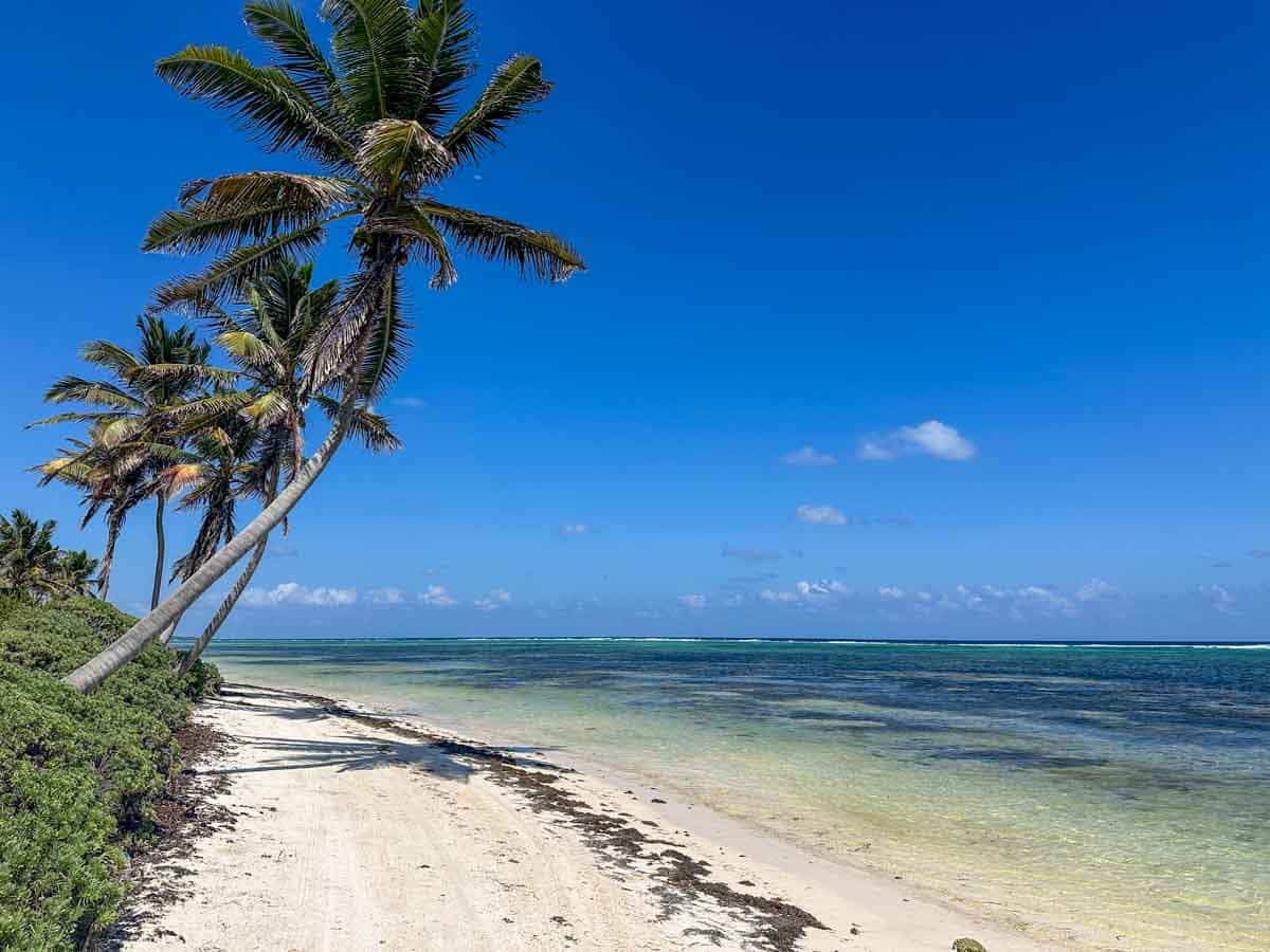
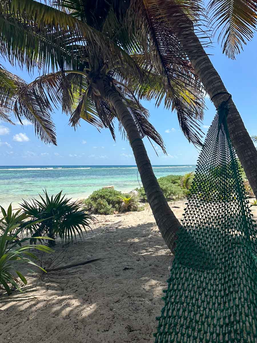
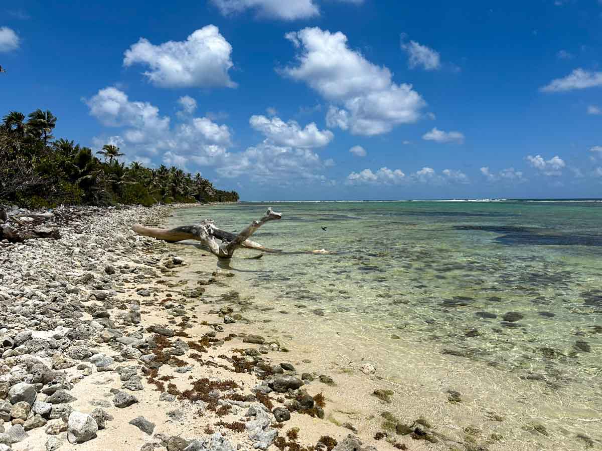
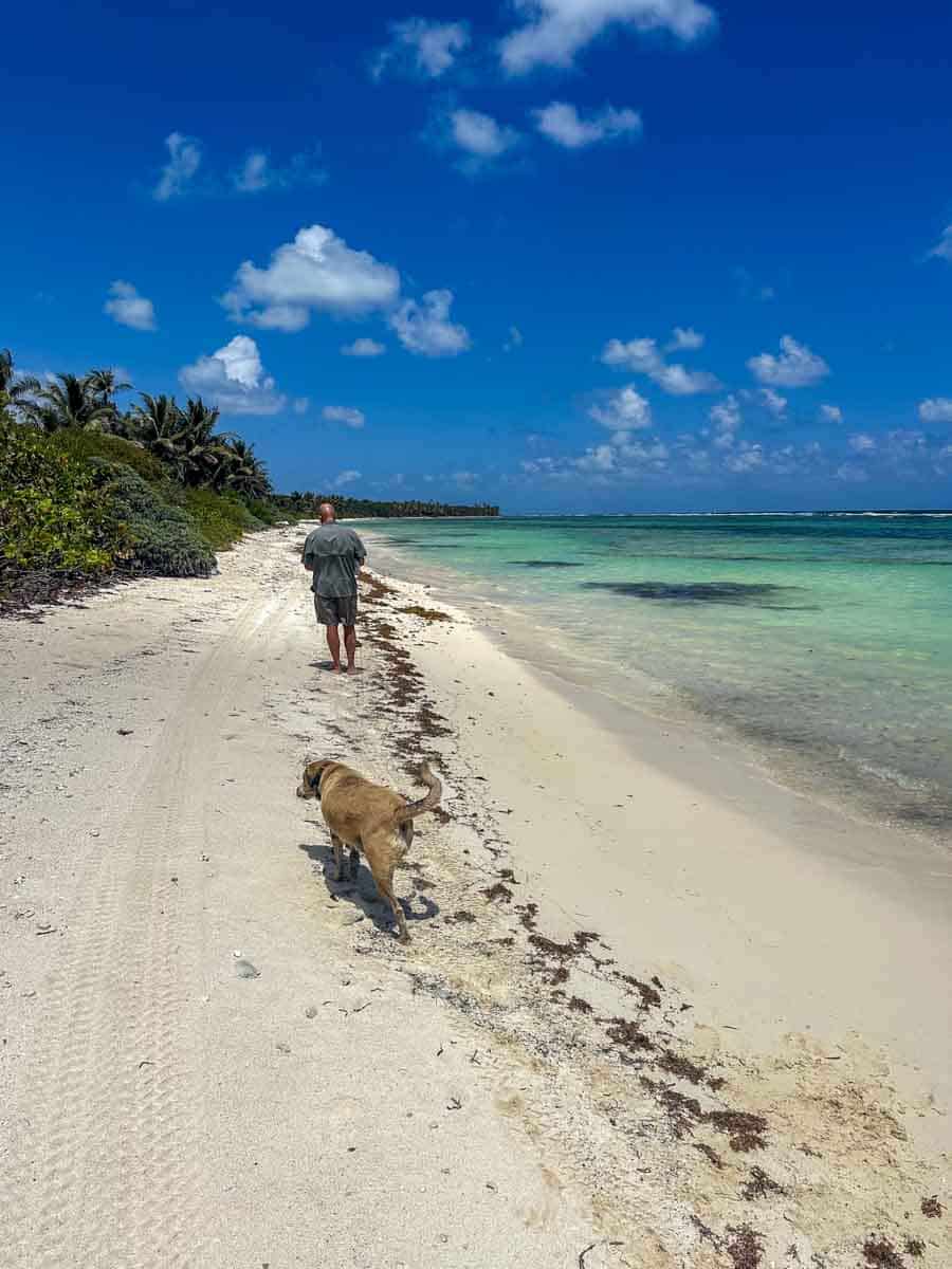
The last few days have been absolutely gorgeous – blue skies, nice breeze, low low very low tide which has made the beach look even bigger.
The beach closer to our house at 8 miles north and our gorgeous neighbor’s property, Tuto Belize.
Some seagrass but a smattering not a PILE.
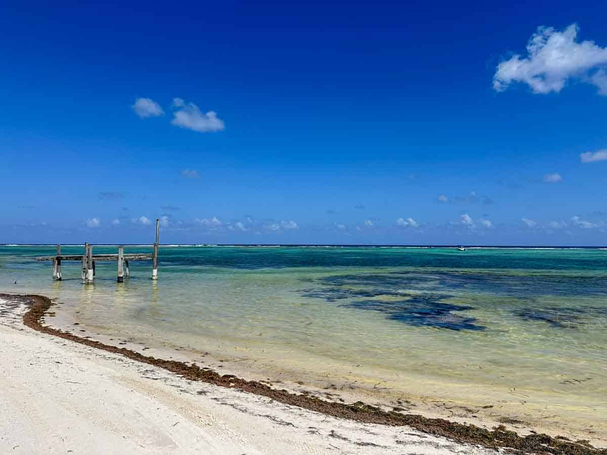
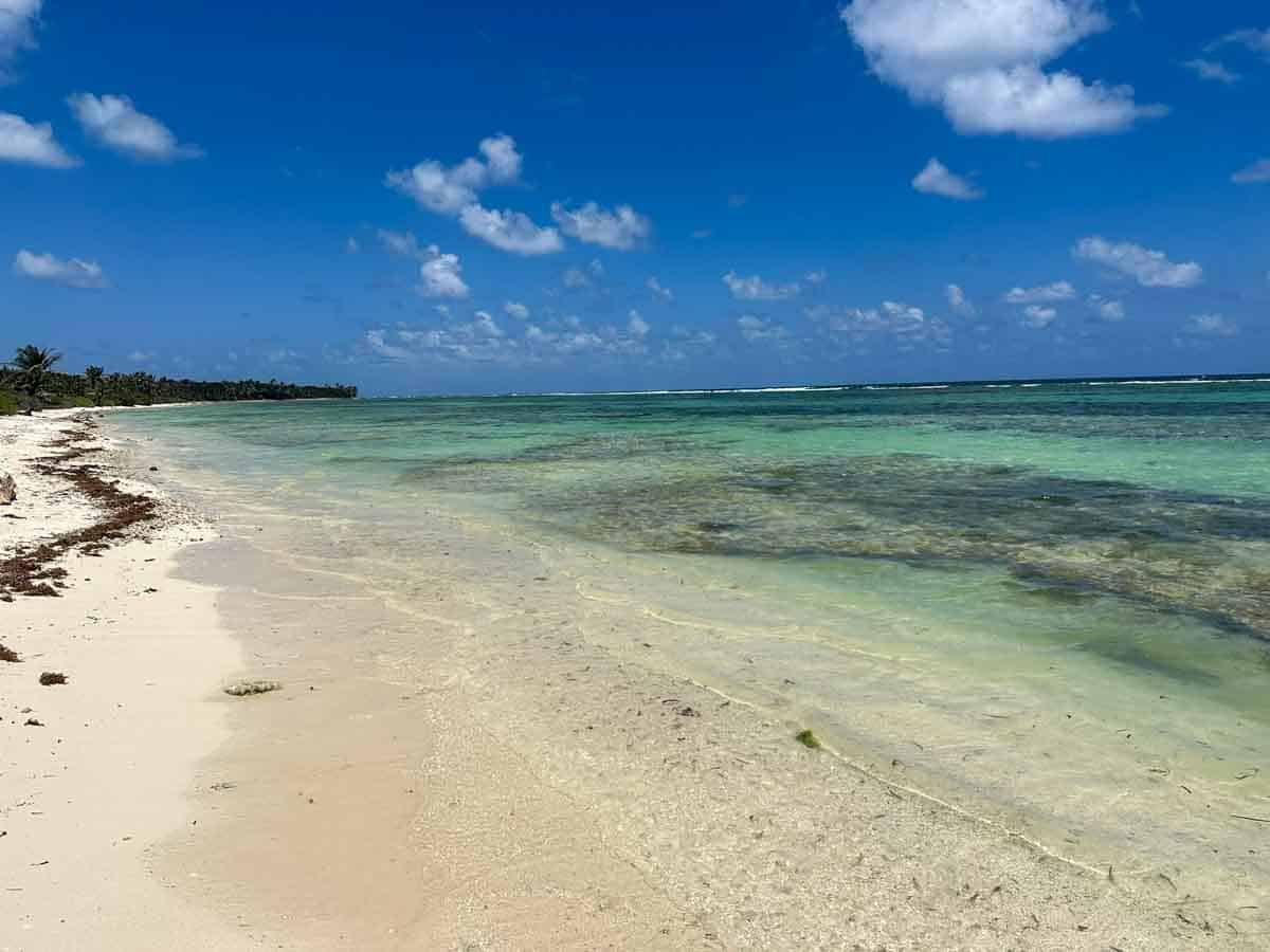
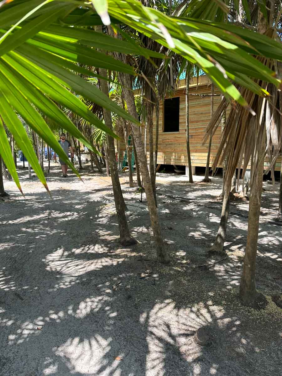
We kept going north – to the location where we are building Rocky Point Permit Club. About 18 miles north.
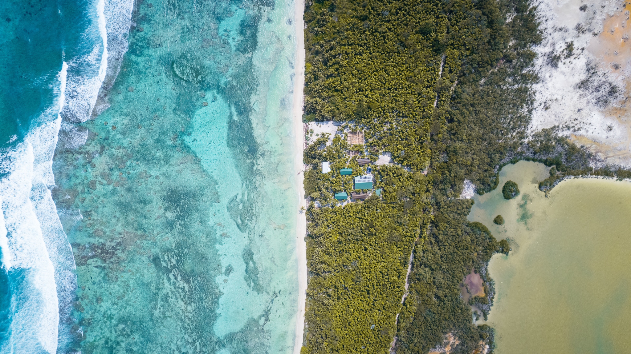
Look at this incredible pic taken by our friend Jesse.
To the ground…
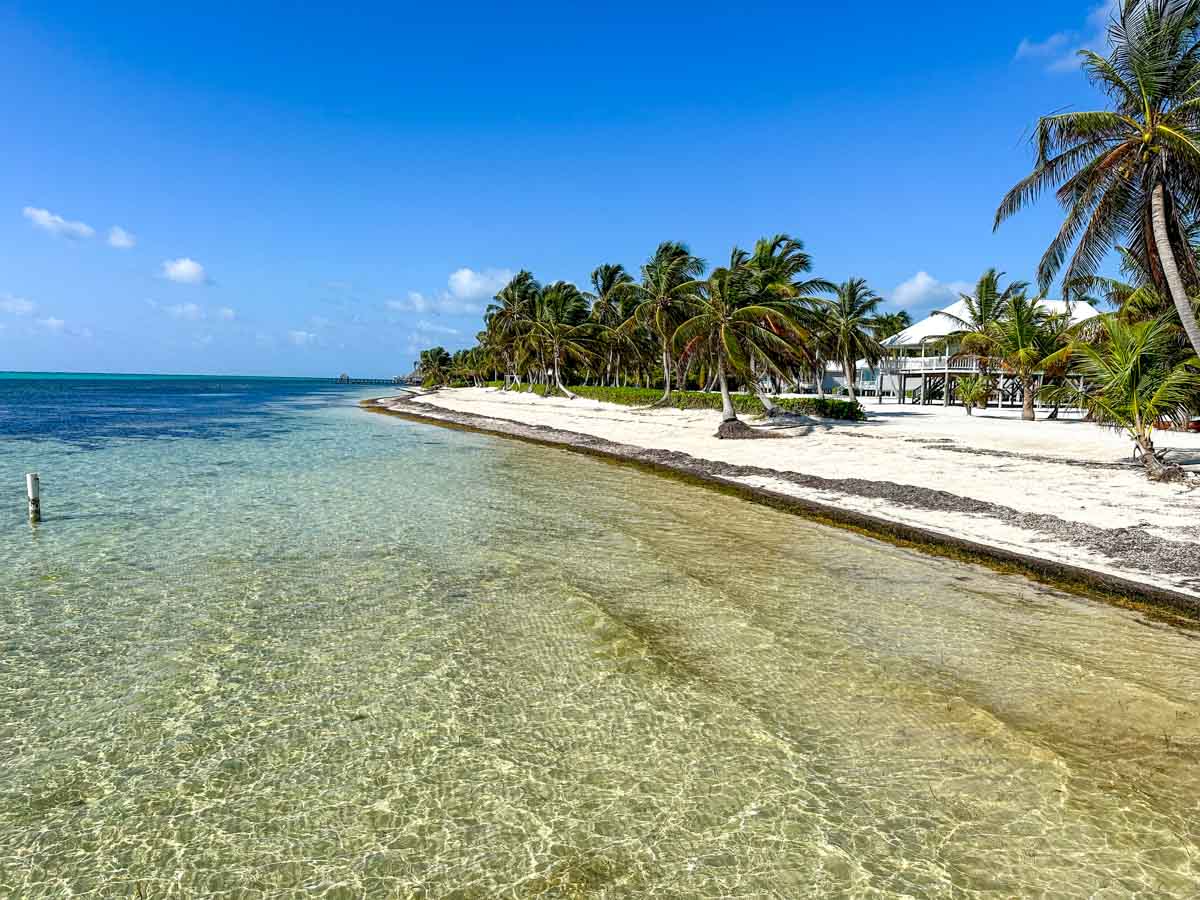
As you move toward Rocky Point (the northern most of the two places that the reef touches land…there is Robles Point and then Rocky Point) – walking gets more treacherous as the beach turns to coral fragments.
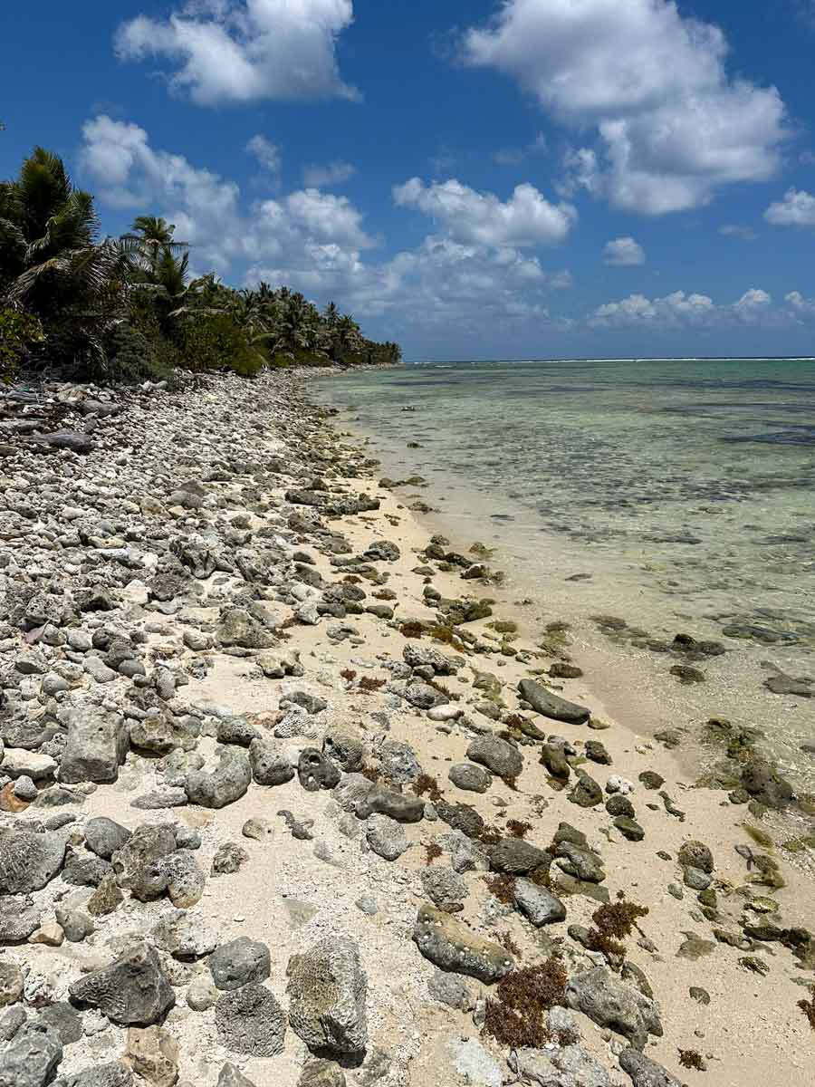
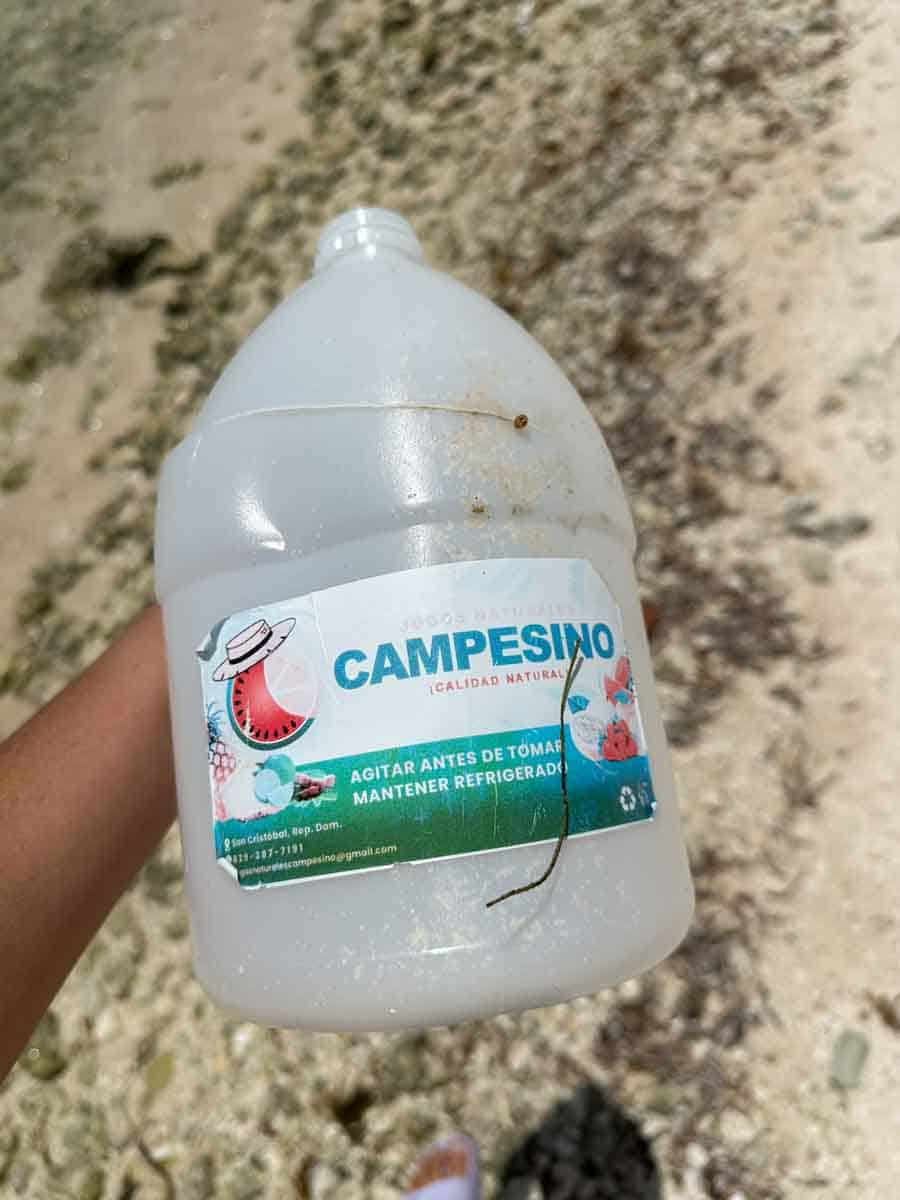
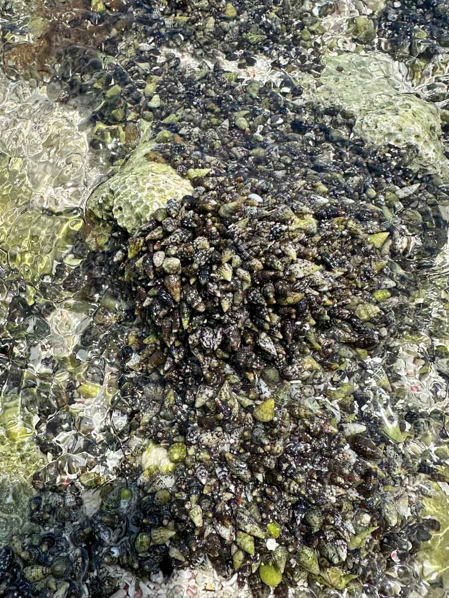
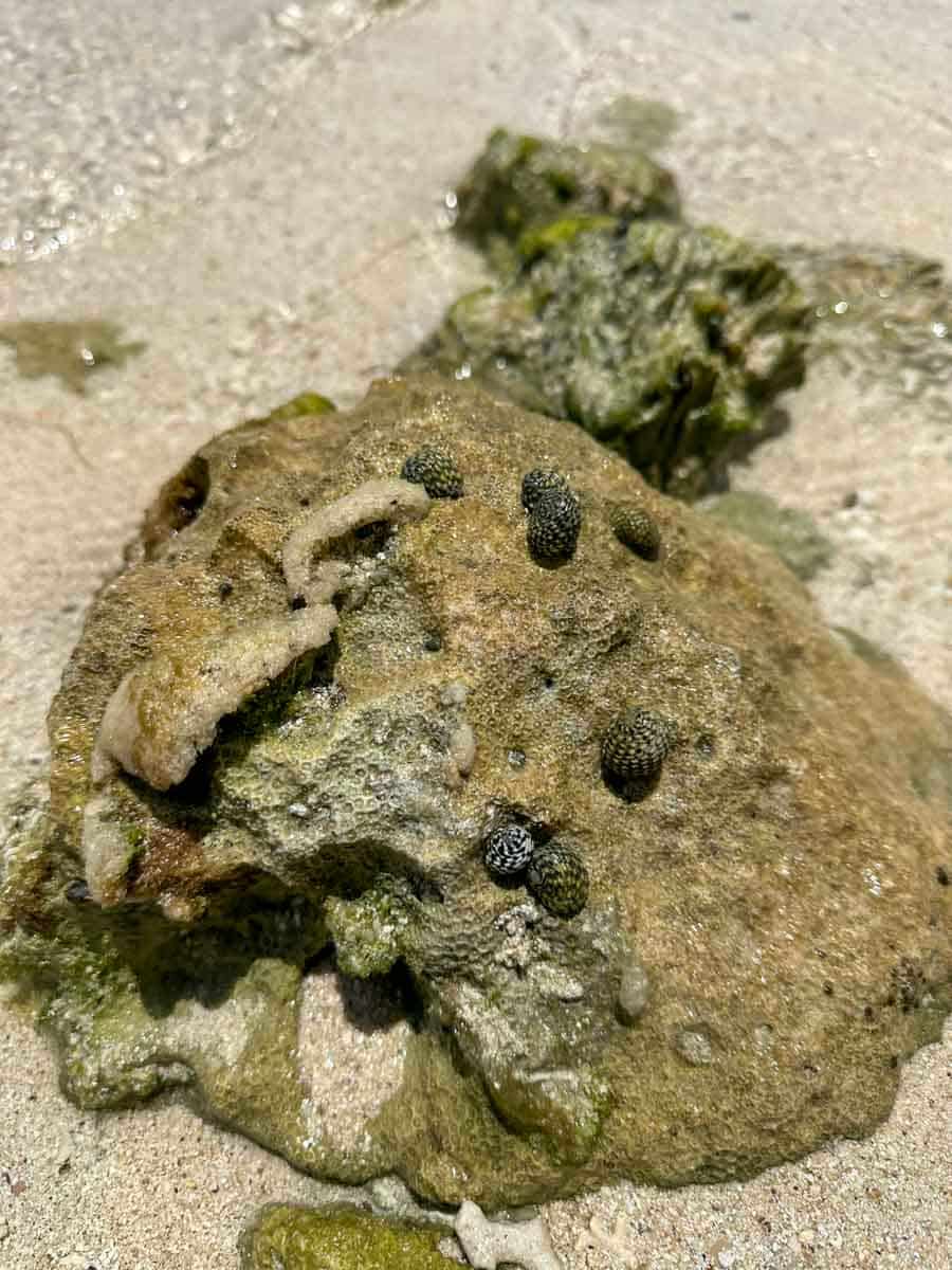
Snails and tiny hermit crabs and…trash. This bottle washed up from the DR.
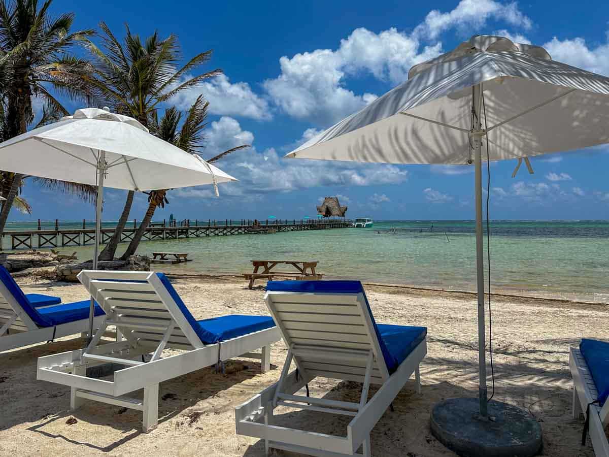
A gorgeous gorgeous day. Today looks beautiful too.
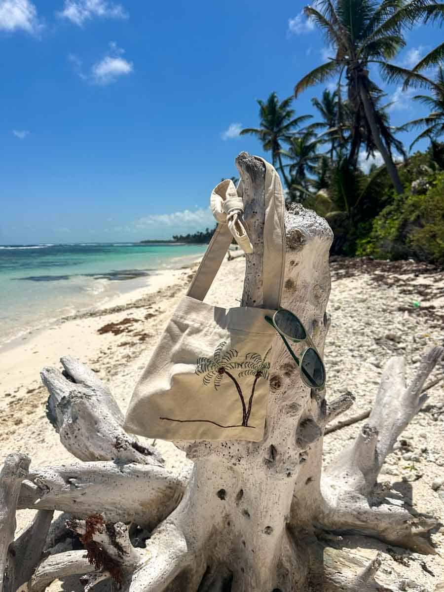
SO nice that I took off my seashelling bag and went for a swim…
Posted in:
Why all the broken up rock on that one beach photo?
Great photos, as usual:) When is the new fishing camp going to open??
October will be the first group. You can check out the website.
It’s all coral…Rocky Point is just mountains and mountains of coral.
IS IT LEGAL TO FISH OF THE COAST IN Ambergris Caye
It is as long as you are not in one of the marine reserve areas.
And you have a fishing license.
Thank you for all the information you post on your blog. We are going to be visiting your paradise in a couple of weeks, and can hardly wait.
Your beautiful pictures and stories have provided much info – again Thanks!
Love that aerial shot of Rocky Point Permit Camp. So I went on Google Earth to pinpoint the location and guess what? There are updated satellite photos of Ambergris Caye with higher resolution – and the update is so new that it shows the Camp under construction!
Sooo cool. Now you can picture our drive up to…the middle of nowhere. Our friend Jesse of https://backwaterflyfishing.com/ does the most beautiful photography and video work…he took some incredible drone shots. Can’t wait for him to return!
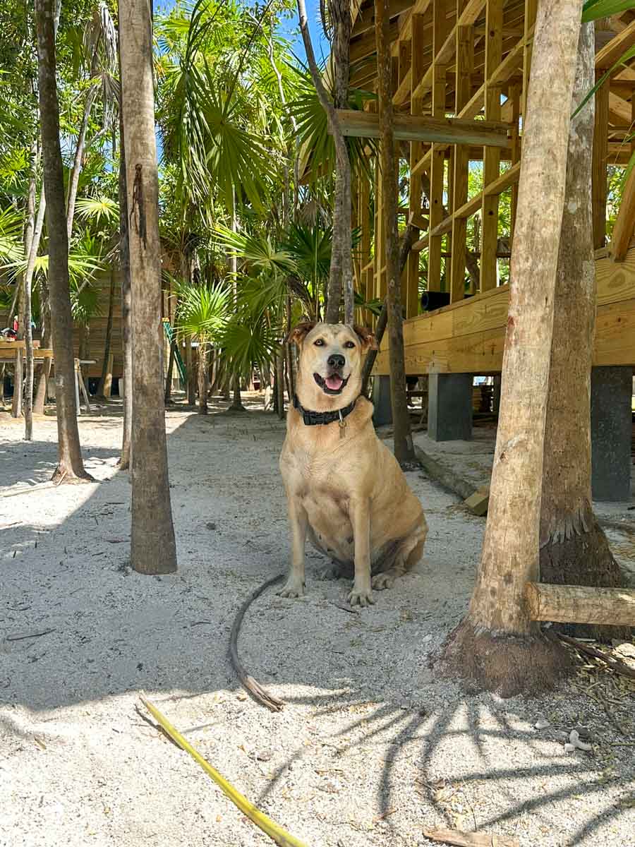
I’m anxious to see Jesse’s drone pics and video on the RPPC website. Man, that will really help sell the place! Well, that and cute pics of Belly…
We are hoping to work with Jesse on something bigger…stay tuned!
Great work, really enjoy seeing your posts and great stories….
Thank you for the San Pedro Scoop. We will be up in Punta Azul north. Look forward to being neighbors.
Any guesses as to when the “power line” road will make it to Margaritaville? I am thinking at least a year.
I have seen no work on that so i’m guessing more. I’d heard that they were planning to build a Margaritaville housing area – with up to 70 home sites? So I’m thinking it will happen if/when that gets off the ground? BUt in Belize, the answer is probably anywhere from 6 months to never.